Leeds
Leeds/26/00080/TR
Bayford And Company Ltd Bowcliffe Hall Paradise Way Bramham Wetherby LS23 6LP
- Reference
- Leeds/26/00080/TR
- Authority
- Leeds
- Application type
- TR
- Address
- Bayford And Company Ltd Bowcliffe Hall Paradise Way Bramham Wetherby LS23 6LP
- Postcode
- LS23 6LP
- Status
- Decided
- Decision
- Approved
- Received
- 5 Jan 2026
- Validated
- 5 Jan 2026
- Started
- 5 Jan 2026
- Decided
- 2 Mar 2026
- Source council
- Leeds
- Council source record
- View public record
- Public data licence
- Open Government Licence v3.0
- Record updated
- 18 Jul 2026
- SEO index generated
- 24 Jul 2026
Location
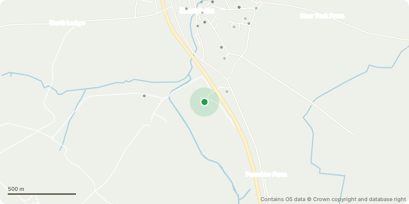
Approximate location - Contains OS data © Crown copyright and database right
Proposal
T1 Holm Oak (Tag No.1735) labelled as T45 - Proposed work is to fell the tree and have the stump ground out. This work is deemed urgent due to advanced decay and poses an unacceptable level of risk. A Holm Oak will be replanted in an adjacent location. T2 Sycamore (Tag No.1646) labelled as T1 - This tree is to be felled and have the stump ground out. The tree is directly adjacent to the main vehicular/pedestrian entrance to the estate and a single-story neighbouring property. It has extensive dieback and squirrel damage to the crown. It has previously had crown cleaning and retrenchment work undertaken to allow us to monitor the decline and manage the risks. It regularly loses branches. This work is pre-emptive against growing risk. A Quercus x bimundorum 'Crimson Oak' will be replanted in an adjacent location. T3 Scots Pine (Tag No. 1852) labelled as T182 - Proposed work is to fell the tree. This struggling, leaning and misshapen tree compromises the growth of an adjacent Pine. A Ginkgo Biloba 'Fastigiata Blagon' is to be planted in an adjacent, more open position.
Key dates
- Received 5 Jan 2026
- Validated 5 Jan 2026
- Started 5 Jan 2026
- Decided 2 Mar 2026
Planning history / related applications
No related planning applications have been identified in the current public OGL dataset.
Inside plotEdge
Go beyond the public record
This page is the public OGL record. plotEdge adds the private intelligence layer for this site - open it in the app to unlock:
- Ownership & title Registered owner and title from HM Land Registry.
- Viability & build potential Site scoring and development upside.
- Constraints Flood risk, green belt, conservation areas and designations.
- Approval signal Planning risk and approval-likelihood analysis.
- Comparable applications Decisions on similar nearby sites, side by side.
- Status alerts Get notified the moment this application changes.
Source: public planning application data from Leeds, reused under the Open Government Licence v3.0. View the council source record. Council documents and drawings are not republished on plotEdge.