Leeds
Leeds/26/00074/LATR
To The Rear Of 104 Hawksworth Road Horsforth Leeds LS18 4JJ
- Reference
- Leeds/26/00074/LATR
- Authority
- Leeds
- Application type
- LATR
- Address
- To The Rear Of 104 Hawksworth Road Horsforth Leeds LS18 4JJ
- Postcode
- LS18 4JJ
- Status
- Decided
- Decision
- Approved
- Received
- 6 Jan 2026
- Validated
- 6 Jan 2026
- Started
- 6 Jan 2026
- Decided
- 17 Feb 2026
- Source council
- Leeds
- Council source record
- View public record
- Public data licence
- Open Government Licence v3.0
- Record updated
- 18 Jul 2026
- SEO index generated
- 24 Jul 2026
Location
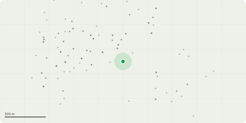
Approximate location
Proposal
T1 Oak - Tree has suffered historical impact damage from a near by Oak which failed into its crown , leaving the upper crown compromised by damage to lower supporting secondary stems. The loss of the neighbouring Oak has also made the tree more exposed to high winds. There is also a cavity at the base of the main stem , probing up to 40cms diagonally down , unable to accurately assess the extent of hollowing with the hammer. The proposed work is to reduce the tree by up to 4m to suitable unions where possible. prune damaged stubs back to suitable unions. remove dead wood, There is a second privately owned Oak near by at no 102 which will become more exposed to wind if the reduction work is carried out.
Key dates
- Received 6 Jan 2026
- Validated 6 Jan 2026
- Started 6 Jan 2026
- Decided 17 Feb 2026
Planning history / related applications
No related planning applications have been identified in the current public OGL dataset.
Inside plotEdge
Go beyond the public record
This page is the public OGL record. plotEdge adds the private intelligence layer for this site - open it in the app to unlock:
- Ownership & title Registered owner and title from HM Land Registry.
- Viability & build potential Site scoring and development upside.
- Constraints Flood risk, green belt, conservation areas and designations.
- Approval signal Planning risk and approval-likelihood analysis.
- Comparable applications Decisions on similar nearby sites, side by side.
- Status alerts Get notified the moment this application changes.
Source: public planning application data from Leeds, reused under the Open Government Licence v3.0. View the council source record. Council documents and drawings are not republished on plotEdge.