Leeds
Leeds/26/00024/TR
6 Wood Lane Headingley Leeds LS6 2AE
- Reference
- Leeds/26/00024/TR
- Authority
- Leeds
- Application type
- TR
- Address
- 6 Wood Lane Headingley Leeds LS6 2AE
- Postcode
- LS6 2AE
- Status
- Decided
- Decision
- No Objection
- Received
- 2 Jan 2026
- Validated
- 2 Jan 2026
- Started
- 2 Jan 2026
- Decided
- 22 Jan 2026
- Source council
- Leeds
- Council source record
- View public record
- Public data licence
- Open Government Licence v3.0
- Record updated
- 18 Jul 2026
- SEO index generated
- 24 Jul 2026
Location
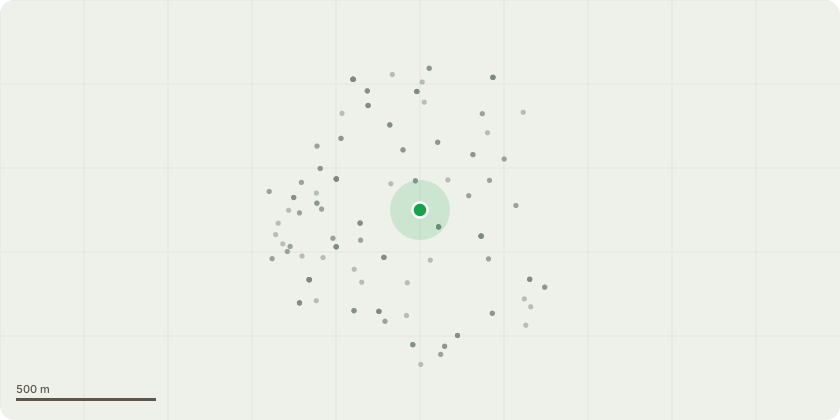
Approximate location
Proposal
T1 Sycamore - Remove subordinate eastern stem to the base to prevent failure of union (LCC Officer note: Removal of T1 to ground level has consent. Implied consent for lesser works, including original proposal)T2 Horse Chestnut - Remove tree to ground level. Visible cankering around base and throughout canopy, has caused significant dieback in the crown. Stem has partially failed at weakest point around 1.5 metres from base and remaining crown is now supported by neighbouring sycamore tree. T3 Sycamore - Crown should be reduced to the east and the west by approx. 3 metres to give a 2 metre clearance from the buildings. Pruning cuts should be made to appropriate growth points, leaving no wound greater than 50 mm in diameter.Upper canopy is encroaching on neighbouring properties
Key dates
- Received 2 Jan 2026
- Validated 2 Jan 2026
- Started 2 Jan 2026
- Decided 22 Jan 2026
Planning history / related applications
No related planning applications have been identified in the current public OGL dataset.
Inside plotEdge
Go beyond the public record
This page is the public OGL record. plotEdge adds the private intelligence layer for this site - open it in the app to unlock:
- Ownership & title Registered owner and title from HM Land Registry.
- Viability & build potential Site scoring and development upside.
- Constraints Flood risk, green belt, conservation areas and designations.
- Approval signal Planning risk and approval-likelihood analysis.
- Comparable applications Decisions on similar nearby sites, side by side.
- Status alerts Get notified the moment this application changes.
Source: public planning application data from Leeds, reused under the Open Government Licence v3.0. View the council source record. Council documents and drawings are not republished on plotEdge.