Leeds
Leeds/25/9/00248/MOD
Former Yeoman Public House Gay Lane Otley LS21 3BB
- Reference
- Leeds/25/9/00248/MOD
- Authority
- Leeds
- Application type
- MOD
- Address
- Former Yeoman Public House Gay Lane Otley LS21 3BB
- Postcode
- LS21 3BB
- Status
- Decided
- Decision
- Refused Not A Non Material Amendment
- Received
- 17 Dec 2025
- Validated
- 17 Dec 2025
- Started
- 17 Dec 2025
- Decided
- 13 Jan 2026
- Source council
- Leeds
- Council source record
- View public record
- Public data licence
- Open Government Licence v3.0
- Record updated
- 18 Jul 2026
- SEO index generated
- 24 Jul 2026
Location
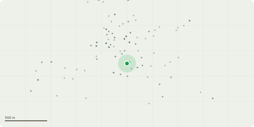
Approximate location
Proposal
Change of use of public house into 6 apartments with amenity space and external alterations including new windows and doors - NON MATERIAL AMENDMENT to 23/04667/FU - Amendments to the approved parking layout to allow ease of access into the developed flats from the parking area. The parking will feature a strip of paving to the head of the bays that will allow for circulation from the vehicles to the building. The electric chargers will be repositioned atop the existing stone wall to the head of the bays to allow for simpler electrical cabling to the chargers and easier access to chargers for users. 6 metres has been retained to the rear of the bays to allow for access in and out when reversing. The scheme is also very simple in terms of alterations. The parking layout has been flipped to mirror the existing parking layout and offer better access.
Key dates
- Received 17 Dec 2025
- Validated 17 Dec 2025
- Started 17 Dec 2025
- Decided 13 Jan 2026
Planning history / related applications
No related planning applications have been identified in the current public OGL dataset.
Inside plotEdge
Go beyond the public record
This page is the public OGL record. plotEdge adds the private intelligence layer for this site - open it in the app to unlock:
- Ownership & title Registered owner and title from HM Land Registry.
- Viability & build potential Site scoring and development upside.
- Constraints Flood risk, green belt, conservation areas and designations.
- Approval signal Planning risk and approval-likelihood analysis.
- Comparable applications Decisions on similar nearby sites, side by side.
- Status alerts Get notified the moment this application changes.
Source: public planning application data from Leeds, reused under the Open Government Licence v3.0. View the council source record. Council documents and drawings are not republished on plotEdge.