Leeds
Leeds/25/9/00230/MOD
Lowbeck House Crabtree Green Collingham Wetherby LS22 5AB
- Reference
- Leeds/25/9/00230/MOD
- Authority
- Leeds
- Application type
- MOD
- Address
- Lowbeck House Crabtree Green Collingham Wetherby LS22 5AB
- Postcode
- LS22 5AB
- Status
- Decided
- Decision
- Non Material Amendment Approved
- Received
- 11 Nov 2025
- Validated
- 11 Nov 2025
- Started
- 11 Nov 2025
- Decided
- 2 Dec 2025
- Source council
- Leeds
- Council source record
- View public record
- Public data licence
- Open Government Licence v3.0
- Record updated
- 18 Jul 2026
- SEO index generated
- 24 Jul 2026
Location
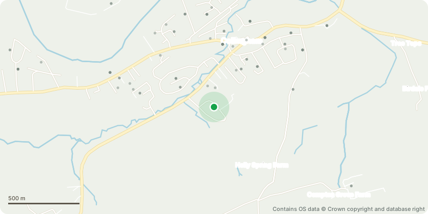
Approximate location - Contains OS data © Crown copyright and database right
Proposal
Reserved matters of appearance, layout, scale and landscaping pursuant to outline application 23/04671/OT for single detached dwelling (Plot 2) NON MATERIAL AMENDMENT to 25/01352/RM Relocation of the gate posts and removal of the gate; removal of the bin store; alteration of the driveway surface from tarmac to block paving; introduction of a soft landscaping planting border to the west of the site; installation of an air source heat pump on the east side of the dwelling; replacement of the paved path on the eastern side with a gravel path; installation of solar panels on the southern roof slope; removal of the round windows and chimney; amendment of the Juliet sliding doors in Bedroom 1 to glazed double doors; removal of the rooflights in Bedroom 4 and 5; reduction in the size of the dormers and dormer windows; relocation of the second floor hallway rooflight to the northern roof slope; revision of the rear single-storey extension roof finish from zinc to a single-ply membrane and change of dormer cladding material from zinc to slate-effect roof tiles.
Key dates
- Received 11 Nov 2025
- Validated 11 Nov 2025
- Started 11 Nov 2025
- Decided 2 Dec 2025
Planning history / related applications
No related planning applications have been identified in the current public OGL dataset.
Inside plotEdge
Go beyond the public record
This page is the public OGL record. plotEdge adds the private intelligence layer for this site - open it in the app to unlock:
- Ownership & title Registered owner and title from HM Land Registry.
- Viability & build potential Site scoring and development upside.
- Constraints Flood risk, green belt, conservation areas and designations.
- Approval signal Planning risk and approval-likelihood analysis.
- Comparable applications Decisions on similar nearby sites, side by side.
- Status alerts Get notified the moment this application changes.
Source: public planning application data from Leeds, reused under the Open Government Licence v3.0. View the council source record. Council documents and drawings are not republished on plotEdge.