Leeds
Leeds/25/9/00167/MOD
Sant Angelo High Street Wetherby LS22 6LT
- Reference
- Leeds/25/9/00167/MOD
- Authority
- Leeds
- Application type
- MOD
- Address
- Sant Angelo High Street Wetherby LS22 6LT
- Postcode
- LS22 6LT
- Status
- Decided
- Decision
- Withdrawn
- Received
- 22 Aug 2025
- Validated
- 22 Aug 2025
- Started
- 22 Aug 2025
- Decided
- 8 Sept 2025
- Source council
- Leeds
- Council source record
- View public record
- Public data licence
- Open Government Licence v3.0
- Record updated
- 18 Jul 2026
- SEO index generated
- 24 Jul 2026
Location
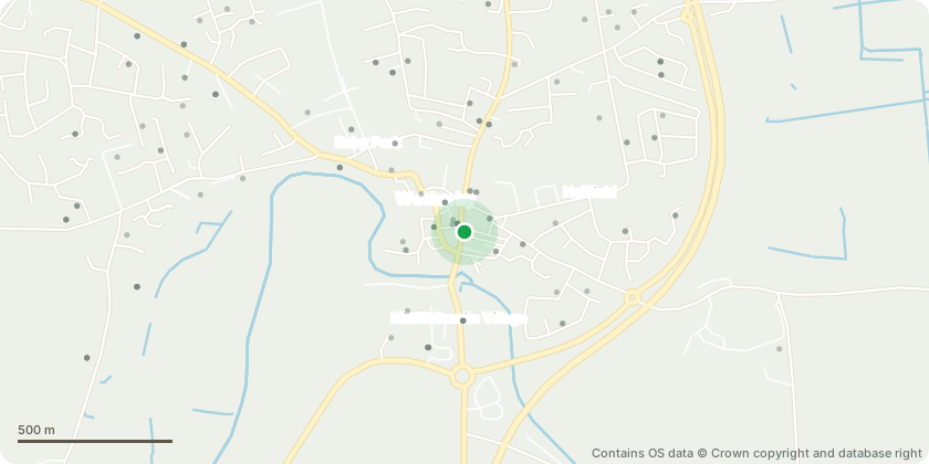
Approximate location - Contains OS data © Crown copyright and database right
Proposal
Listed building consent for change of use to public house involving external alterations including demolition of existing conservatory, single storey rear extension, alterations to openings and window detailing, addition of plant to roof and internal alterations including revised internal layout consisting of removal of walls and addition of walls, alterations to internal features including flooring, walling and ceiling, and addition of plant and associated infrastructure; amendments to boundary treatments including new access points to both sides and erection of new pergola and bin store to rear; reinstatement of barrel drop NON MATERIAL AMENDMENT to 24/02368/LI Minor alteration to the configuration of the first floor layout to improve on what is a limited footprint for customer WC's in the Male WC allocation and in return, relocating the staff facilities to the location of the Men's WC's as per the approved plan.It is also proposed that the door which leads in the kitchen is re-located to a different location along the same southern elevation, no less than 2 meters from the approved layout plans.
Key dates
- Received 22 Aug 2025
- Validated 22 Aug 2025
- Started 22 Aug 2025
- Decided 8 Sept 2025
Planning history / related applications
No related planning applications have been identified in the current public OGL dataset.
Inside plotEdge
Go beyond the public record
This page is the public OGL record. plotEdge adds the private intelligence layer for this site - open it in the app to unlock:
- Ownership & title Registered owner and title from HM Land Registry.
- Viability & build potential Site scoring and development upside.
- Constraints Flood risk, green belt, conservation areas and designations.
- Approval signal Planning risk and approval-likelihood analysis.
- Comparable applications Decisions on similar nearby sites, side by side.
- Status alerts Get notified the moment this application changes.
Source: public planning application data from Leeds, reused under the Open Government Licence v3.0. View the council source record. Council documents and drawings are not republished on plotEdge.