Leeds
Leeds/25/9/00057/MOD
Former St Marys Church Church Road Richmond Hill Leeds LS9 8LA
- Reference
- Leeds/25/9/00057/MOD
- Authority
- Leeds
- Application type
- MOD
- Address
- Former St Marys Church Church Road Richmond Hill Leeds LS9 8LA
- Postcode
- LS9 8LA
- Status
- Decided
- Decision
- Non Material Amendment Approved
- Received
- 5 Mar 2025
- Validated
- 5 Mar 2025
- Started
- 5 Mar 2025
- Decided
- 29 Aug 2025
- Source council
- Leeds
- Council source record
- View public record
- Public data licence
- Open Government Licence v3.0
- Record updated
- 18 Jul 2026
- SEO index generated
- 24 Jul 2026
Location
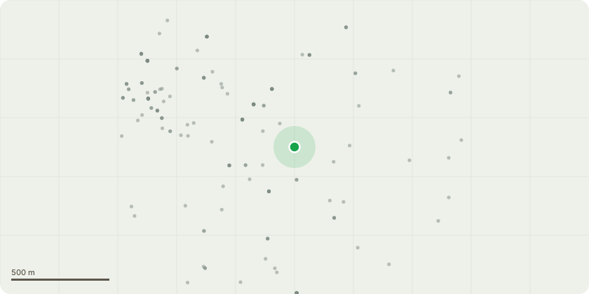
Approximate location
Proposal
Demolition of the Nave and Aisles of the church, replaced with a six story extension; the Chancel, Transept areas and Altars will be retained and restored contain 62 apartments. The Presbytery will also be demolished and replaced with a 5 storey apartment block of 113No. apartments (total residential development comprising of 175 units); Other works including new access, proposed ECVP parking, cycle storage and landscaping works - NON MATERIAL AMENDMENT TO 20/03519/FU - Adjustments to proposed internal and site plan layouts and elevations- Apartment Block (adjusted window types; reduced brickwork setback/ window reveal depth; re-location of cycle store- from internal to external facility; altered internal flat layout (incl. accessible unit))/ Church Block (adjusted window- display openings/ mullions; altered internal flat layout (incl. accessible unit))/ Site Layout (western turning head enlarged; bin store/ substation enlarged)
Key dates
- Received 5 Mar 2025
- Validated 5 Mar 2025
- Started 5 Mar 2025
- Decided 29 Aug 2025
Planning history / related applications
No related planning applications have been identified in the current public OGL dataset.
Inside plotEdge
Go beyond the public record
This page is the public OGL record. plotEdge adds the private intelligence layer for this site - open it in the app to unlock:
- Ownership & title Registered owner and title from HM Land Registry.
- Viability & build potential Site scoring and development upside.
- Constraints Flood risk, green belt, conservation areas and designations.
- Approval signal Planning risk and approval-likelihood analysis.
- Comparable applications Decisions on similar nearby sites, side by side.
- Status alerts Get notified the moment this application changes.
Source: public planning application data from Leeds, reused under the Open Government Licence v3.0. View the council source record. Council documents and drawings are not republished on plotEdge.