Leeds
Leeds/25/9/00029/MOD
64 Rawdon Road Horsforth Leeds LS18 5EW
- Reference
- Leeds/25/9/00029/MOD
- Authority
- Leeds
- Application type
- MOD
- Address
- 64 Rawdon Road Horsforth Leeds LS18 5EW
- Postcode
- LS18 5EW
- Status
- Decided
- Decision
- Refused Not A Non Material Amendment
- Received
- 19 Feb 2025
- Validated
- 19 Feb 2025
- Started
- 19 Feb 2025
- Decided
- 17 Mar 2025
- Source council
- Leeds
- Council source record
- View public record
- Public data licence
- Open Government Licence v3.0
- Record updated
- 18 Jul 2026
- SEO index generated
- 24 Jul 2026
Location
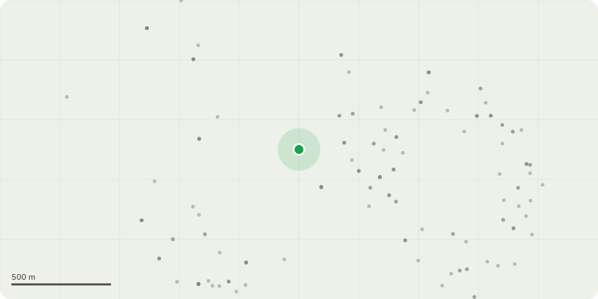
Approximate location
Proposal
Alterations including demolition of side conservatory; construction of new conservatory to rear; extension and alterations to basement; part two storey, part single storey front extension, with gables extended and new rooflights; remodelling of roof; remodelling of annex with single storey extensions; removal of existing outbuilding, new timber bin store; external alterations including new access steps to front terrace with stone balustrade; new steel gates; replacement of rear tarmac yard with terraced area with steps to lawn, drive and parking area, stone retaining wall - NON MATERIAL AMENDMENT TO 22/07818/FU - Windows changed to aluminium frames from timber, window omited in kitchen, bifold door replaced by a window, glazing bars removed on some windows, addition of sliding aluminium screen to replace some bifold aluminium screens and door alterations.
Key dates
- Received 19 Feb 2025
- Validated 19 Feb 2025
- Started 19 Feb 2025
- Decided 17 Mar 2025
Planning history / related applications
No related planning applications have been identified in the current public OGL dataset.
Inside plotEdge
Go beyond the public record
This page is the public OGL record. plotEdge adds the private intelligence layer for this site - open it in the app to unlock:
- Ownership & title Registered owner and title from HM Land Registry.
- Viability & build potential Site scoring and development upside.
- Constraints Flood risk, green belt, conservation areas and designations.
- Approval signal Planning risk and approval-likelihood analysis.
- Comparable applications Decisions on similar nearby sites, side by side.
- Status alerts Get notified the moment this application changes.
Source: public planning application data from Leeds, reused under the Open Government Licence v3.0. View the council source record. Council documents and drawings are not republished on plotEdge.