Leeds
Leeds/25/9/00020/MOD
Sports Hall Primrose Lane Beeston Leeds LS11 5EW
- Reference
- Leeds/25/9/00020/MOD
- Authority
- Leeds
- Application type
- MOD
- Address
- Sports Hall Primrose Lane Beeston Leeds LS11 5EW
- Postcode
- LS11 5EW
- Status
- Decided
- Decision
- Non Material Amendment Approved
- Received
- 27 Jan 2025
- Validated
- 27 Jan 2025
- Started
- 27 Jan 2025
- Decided
- 11 Feb 2025
- Source council
- Leeds
- Council source record
- View public record
- Public data licence
- Open Government Licence v3.0
- Record updated
- 18 Jul 2026
- SEO index generated
- 24 Jul 2026
Location
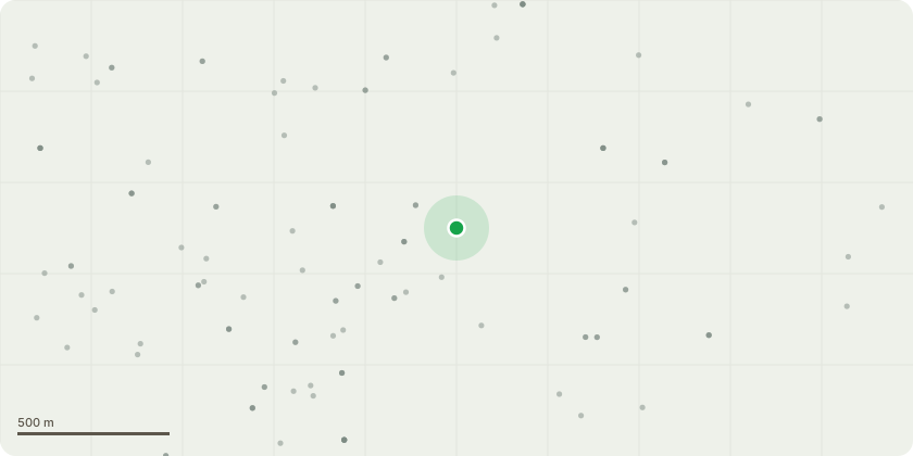
Approximate location
Proposal
Variation of condition 2 (approved plans) to previously approved planning application 20/06679/FU (Construction of a new sports/multi use hall with associated changing and ancillary facilities and community hub including office spaces, cafe and training facilities) for alterations to landscaping and parking provision and internal changes to staircases and layout NON MATERIAL AMENDMENT to 24/02050/FU Condition 7 - to replace Construction Phase Plan issue 03 received by LPA 11th November 2024 with document titled Construction Phase Management Plan Cockburn Centre Rev 04 and accompanying plans/documents.Condition 18 - to amend the wording from ?No construction works shall commence until?? to "?No construction works shall commence (except for a trench digging and demolition) until??.Condition 19 - to amend the wording from ?The approved Phase I Desk Study report indicates that a Phase II Site Investigation is necessary, and therefore development (excluding demolition) shall not commence until?? to "?The approved Phase I Desk Study report indicates that a Phase II Site Investigation is necessary, and therefore development (excluding trench digging and demolition) shall not commence until??
Key dates
- Received 27 Jan 2025
- Validated 27 Jan 2025
- Started 27 Jan 2025
- Decided 11 Feb 2025
Planning history / related applications
No related planning applications have been identified in the current public OGL dataset.
Inside plotEdge
Go beyond the public record
This page is the public OGL record. plotEdge adds the private intelligence layer for this site - open it in the app to unlock:
- Ownership & title Registered owner and title from HM Land Registry.
- Viability & build potential Site scoring and development upside.
- Constraints Flood risk, green belt, conservation areas and designations.
- Approval signal Planning risk and approval-likelihood analysis.
- Comparable applications Decisions on similar nearby sites, side by side.
- Status alerts Get notified the moment this application changes.
Source: public planning application data from Leeds, reused under the Open Government Licence v3.0. View the council source record. Council documents and drawings are not republished on plotEdge.