Leeds
Leeds/25/05864/TR
24 Oulton Lane Woodlesford Leeds LS26 8NL
- Reference
- Leeds/25/05864/TR
- Authority
- Leeds
- Application type
- TR
- Address
- 24 Oulton Lane Woodlesford Leeds LS26 8NL
- Postcode
- LS26 8NL
- Status
- Decided
- Decision
- No Objection
- Received
- 3 Oct 2025
- Validated
- 3 Oct 2025
- Started
- 3 Oct 2025
- Decided
- 22 Oct 2025
- Source council
- Leeds
- Council source record
- View public record
- Public data licence
- Open Government Licence v3.0
- Record updated
- 18 Jul 2026
- SEO index generated
- 24 Jul 2026
Location
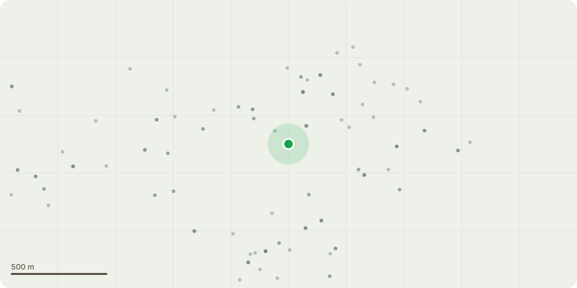
Approximate location
Proposal
T1 Silver Birch - Seeking permission to get cut down, the tree would need to be cut down for the following reasons:Not a suitable tree for a garden and is more usually found in a woodland setting and was quite surprised to see it in our garden. The trunk splints into 2 about a foot from the ground meaning the tree is made up of 2 different trunks, his opinion is that as the tree gets older and taller and the 2 different trunks get thicker at the base it will cause a risk in regards to one pushing the other and either trunk falling down or becoming unstable in the wind as he advised that this species of tree grows very quickly and the height of the tree could be considerably higher in 10 or so years. Due to the problem of the two trunks and risk of either one falling down in high winds, with the existing height of the tree and the proximity to my property there is a possible risk that this could fall down on my conservatory and cause damage to my property.As the tree is also on the border of mine and my neighbours property the roots of the tree are starting to show above the ground and are becoming a trip hazard, and as both myself and my neighbours have young children this is becoming more and more a worry for safety.
Key dates
- Received 3 Oct 2025
- Validated 3 Oct 2025
- Started 3 Oct 2025
- Decided 22 Oct 2025
Planning history / related applications
No related planning applications have been identified in the current public OGL dataset.
Inside plotEdge
Go beyond the public record
This page is the public OGL record. plotEdge adds the private intelligence layer for this site - open it in the app to unlock:
- Ownership & title Registered owner and title from HM Land Registry.
- Viability & build potential Site scoring and development upside.
- Constraints Flood risk, green belt, conservation areas and designations.
- Approval signal Planning risk and approval-likelihood analysis.
- Comparable applications Decisions on similar nearby sites, side by side.
- Status alerts Get notified the moment this application changes.
Source: public planning application data from Leeds, reused under the Open Government Licence v3.0. View the council source record. Council documents and drawings are not republished on plotEdge.