Leeds
Leeds/25/05231/TR
To The Rear Of 15 Hall Rise Bramhope Leeds LS16 9JG
- Reference
- Leeds/25/05231/TR
- Authority
- Leeds
- Application type
- TR
- Address
- To The Rear Of 15 Hall Rise Bramhope Leeds LS16 9JG
- Postcode
- LS16 9JG
- Status
- Decided
- Decision
- Split decision
- Received
- 5 Sept 2025
- Validated
- 5 Sept 2025
- Started
- 5 Sept 2025
- Decided
- 30 Sept 2025
- Source council
- Leeds
- Council source record
- View public record
- Public data licence
- Open Government Licence v3.0
- Record updated
- 18 Jul 2026
- SEO index generated
- 24 Jul 2026
Location
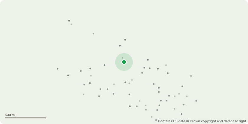
Approximate location - Contains OS data © Crown copyright and database right
Proposal
T1 Horse Chestnut - Reduce in height by 6m, from 18m to 12m and laterally to balance the crown back to previous points of reduction. The tree has previously been reduced, and this application seeks to maintain the existing management regime. Ongoing cyclical reduction helps preserve the form, health, and safety of the tree, while minimising long-term stress.T2 and T3 Willow Saplings - Fell. At their current stage, the saplings do not yet offer notable landscape or amenity value. Removal at this point avoids unnecessary disruption and minimises impact on visual amenity or habitat.T4 Sycamore - Crown reduction by up to 2-3m to secondary growth points as indicated on the photographs provided. The tree has grown to a substantial height and spread, and is beginning to dominate the garden space below. The proposed reduction will help maintain the tree at a proportionate scale within its setting and prevent it from becoming overbearing, it will improve light levels and the overall amenity of the garden, without compromising the health or character of the tree.
Key dates
- Received 5 Sept 2025
- Validated 5 Sept 2025
- Started 5 Sept 2025
- Decided 30 Sept 2025
Planning history / related applications
No related planning applications have been identified in the current public OGL dataset.
Inside plotEdge
Go beyond the public record
This page is the public OGL record. plotEdge adds the private intelligence layer for this site - open it in the app to unlock:
- Ownership & title Registered owner and title from HM Land Registry.
- Viability & build potential Site scoring and development upside.
- Constraints Flood risk, green belt, conservation areas and designations.
- Approval signal Planning risk and approval-likelihood analysis.
- Comparable applications Decisions on similar nearby sites, side by side.
- Status alerts Get notified the moment this application changes.
Source: public planning application data from Leeds, reused under the Open Government Licence v3.0. View the council source record. Council documents and drawings are not republished on plotEdge.