Leeds
Leeds/25/05114/TR
Adel Willows The Boma Otley Road Adel Leeds LS16 8AF
- Reference
- Leeds/25/05114/TR
- Authority
- Leeds
- Application type
- TR
- Address
- Adel Willows The Boma Otley Road Adel Leeds LS16 8AF
- Postcode
- LS16 8AF
- Status
- Decided
- Decision
- Approved
- Received
- 1 Sept 2025
- Validated
- 1 Sept 2025
- Started
- 1 Sept 2025
- Decided
- 27 Oct 2025
- Source council
- Leeds
- Council source record
- View public record
- Public data licence
- Open Government Licence v3.0
- Record updated
- 18 Jul 2026
- SEO index generated
- 24 Jul 2026
Location
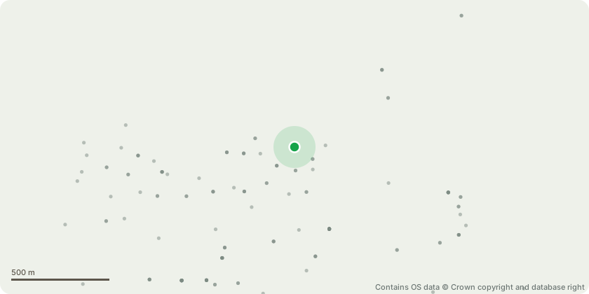
Approximate location - Contains OS data © Crown copyright and database right
Proposal
G52 Beech - Relic Beech Hedge left unmanaged and now formed linear group of mature trees (appro 20 in total).G52.01 Beech (tag no. 970) - Wood decay fungus Pleurotus ostreatus growing from old pruning wound to west circa 2 meters on tension side of tree leaning east. Decision to remove informed by proposal to remove adjacent item G52.2.G52.02 Beech (tag no. 971) - Fell. Longitudinal strip of wound and bark dysfunction to west on tension side of leaning tree. G52.05 Beech (tag no. 972) - Reduce to 1.5 meters to retain as low hedge growth.G52.07 Beech (tag no. 973) and G52 .08 Beech (tag no. 974) - Reduce to 1.5 meters to retain as low hedge growth.T80 Beech (tag no. 999) - Fell. Significant stem and basal decay due to Kretzschmaria deusta to northT97 Beech (tag no. 16) - Fell. Upper canopy dead, significant stem wounds and decay to south.T141 Beech (tag no. 57) - Fell. Irreversible decline bleeding canker and bark necrosis to north, canopy dieback.T144 and T145 Beech (tag no. 59) - Fell. Stem dead from 3m to top, significant basal decay.T147 Beech (tag no. 62) - Fell. Upper half of tree dead.T148 Hawthorn (tag no. 63) - Reduce to 1st live upright branch circa 4 meters. Rootplate lifting to west, stem and canopy weight bias to east, supported on adjacent canopies.T153 Beech (tag no. 68) - Fell. Historic pruning wounds and associated stem decay, assumed coalescence of wood decay to north 1.5m to 4m T158 Oak (tag no. 73) - Reduce length on northern lowest branch and reduce lateral growth of all eastern branches over adjacent gardens by 3m to 10m post pruning spread.
Key dates
- Received 1 Sept 2025
- Validated 1 Sept 2025
- Started 1 Sept 2025
- Decided 27 Oct 2025
Planning history / related applications
No related planning applications have been identified in the current public OGL dataset.
Inside plotEdge
Go beyond the public record
This page is the public OGL record. plotEdge adds the private intelligence layer for this site - open it in the app to unlock:
- Ownership & title Registered owner and title from HM Land Registry.
- Viability & build potential Site scoring and development upside.
- Constraints Flood risk, green belt, conservation areas and designations.
- Approval signal Planning risk and approval-likelihood analysis.
- Comparable applications Decisions on similar nearby sites, side by side.
- Status alerts Get notified the moment this application changes.
Source: public planning application data from Leeds, reused under the Open Government Licence v3.0. View the council source record. Council documents and drawings are not republished on plotEdge.