Leeds
Leeds/25/05037/TR
Oak Park Gardens Scholes Leeds LS15 4BB
- Reference
- Leeds/25/05037/TR
- Authority
- Leeds
- Application type
- TR
- Address
- Oak Park Gardens Scholes Leeds LS15 4BB
- Postcode
- LS15 4BB
- Status
- Decided
- Decision
- Split decision
- Received
- 27 Aug 2025
- Validated
- 27 Aug 2025
- Started
- 27 Aug 2025
- Decided
- 27 Oct 2025
- Source council
- Leeds
- Council source record
- View public record
- Public data licence
- Open Government Licence v3.0
- Record updated
- 18 Jul 2026
- SEO index generated
- 24 Jul 2026
Location
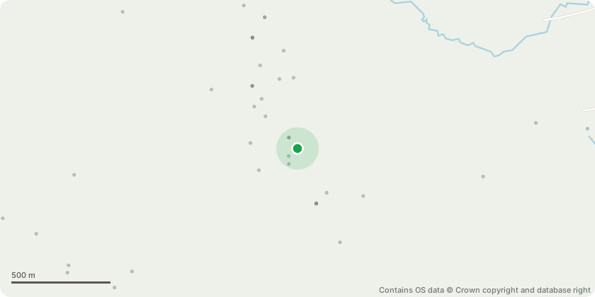
Approximate location - Contains OS data © Crown copyright and database right
Proposal
T6 Ash - Appears to be suffering decline and due to the likely contributors.The over developed branches seen to the northwest of the canopy are at an elevated risk of failure to which if failure occurs naturally in wind episodes will likely cause tearing and as a result speed up the trees mortality spiral. The tree should either be felled and a replacement tree of suitable size and species planted within the grass border, or should the tree be retained its inspection cycle should be increased to annually in full leaf so vitality levels can continue to be commented on. The canopy should also have the larger deadwood removed, the ivy severed and the lower X2 north-western limbs reduced in length by 2m to reduce end weight.
Key dates
- Received 27 Aug 2025
- Validated 27 Aug 2025
- Started 27 Aug 2025
- Decided 27 Oct 2025
Planning history / related applications
No related planning applications have been identified in the current public OGL dataset.
Inside plotEdge
Go beyond the public record
This page is the public OGL record. plotEdge adds the private intelligence layer for this site - open it in the app to unlock:
- Ownership & title Registered owner and title from HM Land Registry.
- Viability & build potential Site scoring and development upside.
- Constraints Flood risk, green belt, conservation areas and designations.
- Approval signal Planning risk and approval-likelihood analysis.
- Comparable applications Decisions on similar nearby sites, side by side.
- Status alerts Get notified the moment this application changes.
Source: public planning application data from Leeds, reused under the Open Government Licence v3.0. View the council source record. Council documents and drawings are not republished on plotEdge.