Leeds
Leeds/25/04884/TR
Carriers Arms Glen Road Morley Leeds LS27 9HG
- Reference
- Leeds/25/04884/TR
- Authority
- Leeds
- Application type
- TR
- Address
- Carriers Arms Glen Road Morley Leeds LS27 9HG
- Postcode
- LS27 9HG
- Status
- Decided
- Decision
- Split decision
- Received
- 18 Aug 2025
- Validated
- 18 Aug 2025
- Started
- 18 Aug 2025
- Decided
- 22 Oct 2025
- Source council
- Leeds
- Council source record
- View public record
- Public data licence
- Open Government Licence v3.0
- Record updated
- 18 Jul 2026
- SEO index generated
- 24 Jul 2026
Location
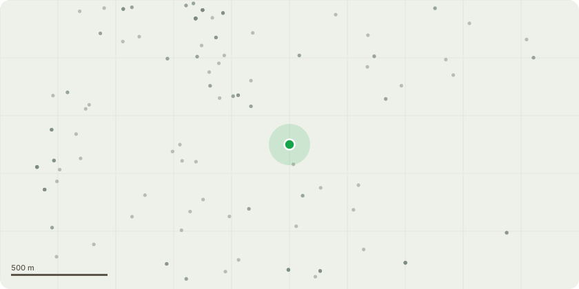
Approximate location
Proposal
T1, T2 and T3 Sycamore - Crown Raising. Lift crowns to approximately 6m above ground level to clear the building and reduce contact with structure. Remove lower branches carefully to maintain balance and natural form.Crown Reduction of all remaining trees - Reduce overall crown spread by approximately 25%, targeting lateral growth to allow more light into the site and reduce shading of building and garden area. Pruning to be carried out in accordance with BS3998:2010 Tree Work Recommendations to maintain tree health and natural appearance.T4 Poplar - Fell and remove the dead and rotten poplar to ground level. Chip and remove all brush and timber from site.Inspect stump and surrounding ground for signs of fungal spread or soil disturbance. All arisings to be chipped on site and removed, unless otherwise specified. All cuts to be made to appropriate growth points to minimise risk of decay.Works to be scheduled outside main bird nesting season unless an ecological survey confirms no active nests.
Key dates
- Received 18 Aug 2025
- Validated 18 Aug 2025
- Started 18 Aug 2025
- Decided 22 Oct 2025
Planning history / related applications
No related planning applications have been identified in the current public OGL dataset.
Inside plotEdge
Go beyond the public record
This page is the public OGL record. plotEdge adds the private intelligence layer for this site - open it in the app to unlock:
- Ownership & title Registered owner and title from HM Land Registry.
- Viability & build potential Site scoring and development upside.
- Constraints Flood risk, green belt, conservation areas and designations.
- Approval signal Planning risk and approval-likelihood analysis.
- Comparable applications Decisions on similar nearby sites, side by side.
- Status alerts Get notified the moment this application changes.
Source: public planning application data from Leeds, reused under the Open Government Licence v3.0. View the council source record. Council documents and drawings are not republished on plotEdge.