Leeds
Leeds/25/04634/TR
12 Moorway Guiseley Leeds LS20 8LB
- Reference
- Leeds/25/04634/TR
- Authority
- Leeds
- Application type
- TR
- Address
- 12 Moorway Guiseley Leeds LS20 8LB
- Postcode
- LS20 8LB
- Status
- Decided
- Decision
- No Objection
- Received
- 4 Aug 2025
- Validated
- 4 Aug 2025
- Started
- 4 Aug 2025
- Decided
- 22 Aug 2025
- Source council
- Leeds
- Council source record
- View public record
- Public data licence
- Open Government Licence v3.0
- Record updated
- 18 Jul 2026
- SEO index generated
- 24 Jul 2026
Location
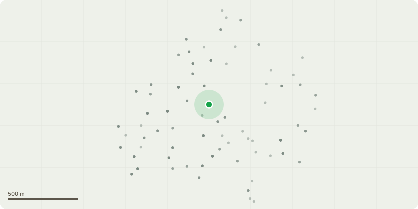
Approximate location
Proposal
T1 Purple Plum - Reduce in height by approx 7ft, from 21ft to 14ft and balance radially back to suitable growth points - To manage the tree's overall size in relation to its setting, preventing it from becoming over-dominant in the space, to improve long-term shape and form through responsible, formative pruning and to ensure the tree remains an attractive and manageable feature within the landscape.T2 Silver Birch - Fell. The tree has significant structural weaknesses, including included bark unions, which are prone to splitting and failure. There are visible cavities present, likely the result of previous branch failures or decay, which compromise the structural integrity of the trunk and/or main scaffold branches. The combination of cavities and included unions presents a high risk of failure, especially during adverse weather conditions. Given the tree's location close to a residential property this poses a potential safety risk to people and property. Due to the extent of the defects, remedial pruning would not be sufficient to ensure long-term safety or structural stability.
Key dates
- Received 4 Aug 2025
- Validated 4 Aug 2025
- Started 4 Aug 2025
- Decided 22 Aug 2025
Planning history / related applications
No related planning applications have been identified in the current public OGL dataset.
Inside plotEdge
Go beyond the public record
This page is the public OGL record. plotEdge adds the private intelligence layer for this site - open it in the app to unlock:
- Ownership & title Registered owner and title from HM Land Registry.
- Viability & build potential Site scoring and development upside.
- Constraints Flood risk, green belt, conservation areas and designations.
- Approval signal Planning risk and approval-likelihood analysis.
- Comparable applications Decisions on similar nearby sites, side by side.
- Status alerts Get notified the moment this application changes.
Source: public planning application data from Leeds, reused under the Open Government Licence v3.0. View the council source record. Council documents and drawings are not republished on plotEdge.