Leeds
Leeds/25/04457/TR
Thornleigh 2 Spion Kop Claypit Lane Thorner Leeds LS14 3EB
- Reference
- Leeds/25/04457/TR
- Authority
- Leeds
- Application type
- TR
- Address
- Thornleigh 2 Spion Kop Claypit Lane Thorner Leeds LS14 3EB
- Postcode
- LS14 3EB
- Status
- Decided
- Decision
- Split decision
- Received
- 29 Jul 2025
- Validated
- 29 Jul 2025
- Started
- 29 Jul 2025
- Decided
- 3 Oct 2025
- Source council
- Leeds
- Council source record
- View public record
- Public data licence
- Open Government Licence v3.0
- Record updated
- 18 Jul 2026
- SEO index generated
- 24 Jul 2026
Location
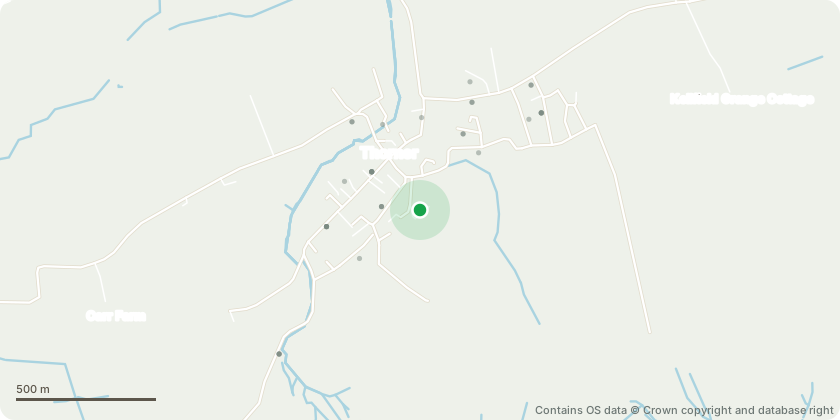
Approximate location - Contains OS data © Crown copyright and database right
Proposal
T1 Ash - The request concerns the removal of three specific branches from a mature tree located near our house and roadside boundary. Branch Condition: Three branches have been identified for removal. One appears to be dead, showing no leaf growth this season (marked with red and yellow arrows in the attached photos). The other two are difficult to capture clearly due to surrounding foliage, but are easily distinguishable in person. These branches contribute to an uneven canopy shape, which is visible from the roadside and detracts from the trees overall form.Health and Safety Risks: - Proximity to Property: All three branches extend toward the house and regularly shed small twigs during high winds. We are concerned that, as growth continues, they will soon come into direct contact with the building.Droppings Hazard: The area beneath the tree, including our car and backyard, is frequently affected by bird droppings from these branches. This presents a hygiene concern and potential slip hazard.Future Risk: Without intervention, the structural integrity of these branches may deteriorate further, increasing the risk of larger limb failure.We believe that the removal of these branches will improve the trees shape, reduce health and safety risks, and prevent future encroachment on the property.
Key dates
- Received 29 Jul 2025
- Validated 29 Jul 2025
- Started 29 Jul 2025
- Decided 3 Oct 2025
Planning history / related applications
No related planning applications have been identified in the current public OGL dataset.
Inside plotEdge
Go beyond the public record
This page is the public OGL record. plotEdge adds the private intelligence layer for this site - open it in the app to unlock:
- Ownership & title Registered owner and title from HM Land Registry.
- Viability & build potential Site scoring and development upside.
- Constraints Flood risk, green belt, conservation areas and designations.
- Approval signal Planning risk and approval-likelihood analysis.
- Comparable applications Decisions on similar nearby sites, side by side.
- Status alerts Get notified the moment this application changes.
Source: public planning application data from Leeds, reused under the Open Government Licence v3.0. View the council source record. Council documents and drawings are not republished on plotEdge.