Leeds
Leeds/25/03364/TR
Bordering 35 And 37 The Drive Bardsey Leeds LS17 9AE
- Reference
- Leeds/25/03364/TR
- Authority
- Leeds
- Application type
- TR
- Address
- Bordering 35 And 37 The Drive Bardsey Leeds LS17 9AE
- Postcode
- LS17 9AE
- Status
- Decided
- Decision
- Refused
- Received
- 6 Jun 2025
- Validated
- 6 Jun 2025
- Started
- 6 Jun 2025
- Decided
- 16 Sept 2025
- Source council
- Leeds
- Council source record
- View public record
- Public data licence
- Open Government Licence v3.0
- Record updated
- 18 Jul 2026
- SEO index generated
- 24 Jul 2026
Location
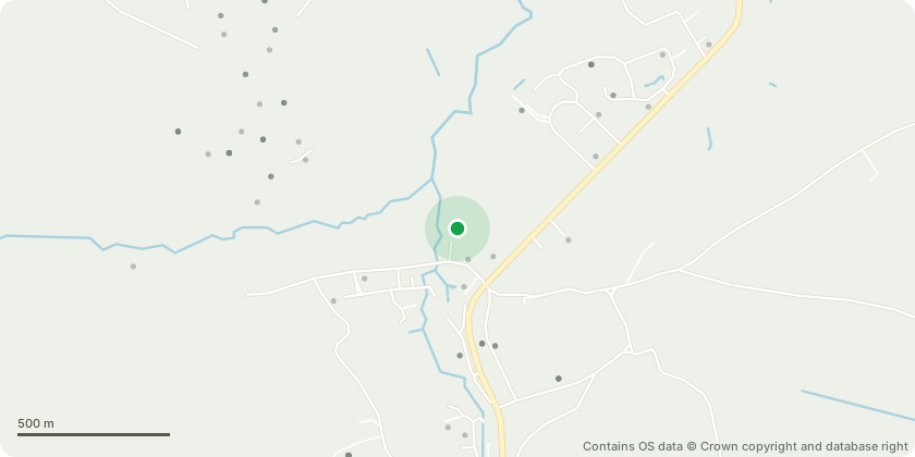
Approximate location - Contains OS data © Crown copyright and database right
Proposal
T2 Oak - Formally request permission for the removal.The tree in question has become a significant safety concern, with large branches regularly detaching and falling to the ground. This has occurred multiple times over the past few years, including during moderate weather conditions. These falling branches pose a serious risk to the safety of nearby residents, visitors, and pets, as well as to property.Ongoing Risk to Public Safety: Repeated limb loss and structural concerns strongly indicate that the tree may be in decline or structurally compromised. This is not only hazardous to individuals but also exposes property to potential damage.Proximity to Structures: The tree is located less than 10m from houses 37 & 35 increasing the likelihood of harm in the event of branch or tree failure.Proposed Mitigation: I am willing to replace the tree with a suitable alternative species elsewhere on the property, contributing positively to the local environment in line with council policy.
Key dates
- Received 6 Jun 2025
- Validated 6 Jun 2025
- Started 6 Jun 2025
- Decided 16 Sept 2025
Planning history / related applications
No related planning applications have been identified in the current public OGL dataset.
Inside plotEdge
Go beyond the public record
This page is the public OGL record. plotEdge adds the private intelligence layer for this site - open it in the app to unlock:
- Ownership & title Registered owner and title from HM Land Registry.
- Viability & build potential Site scoring and development upside.
- Constraints Flood risk, green belt, conservation areas and designations.
- Approval signal Planning risk and approval-likelihood analysis.
- Comparable applications Decisions on similar nearby sites, side by side.
- Status alerts Get notified the moment this application changes.
Source: public planning application data from Leeds, reused under the Open Government Licence v3.0. View the council source record. Council documents and drawings are not republished on plotEdge.