Leeds
Leeds/25/03352/TR
44 Moorway Guiseley Leeds LS20 8LD
- Reference
- Leeds/25/03352/TR
- Authority
- Leeds
- Application type
- TR
- Address
- 44 Moorway Guiseley Leeds LS20 8LD
- Postcode
- LS20 8LD
- Status
- Decided
- Decision
- Split decision
- Received
- 6 Jun 2025
- Validated
- 6 Jun 2025
- Started
- 6 Jun 2025
- Decided
- 1 Aug 2025
- Source council
- Leeds
- Council source record
- View public record
- Public data licence
- Open Government Licence v3.0
- Record updated
- 18 Jul 2026
- SEO index generated
- 24 Jul 2026
Location
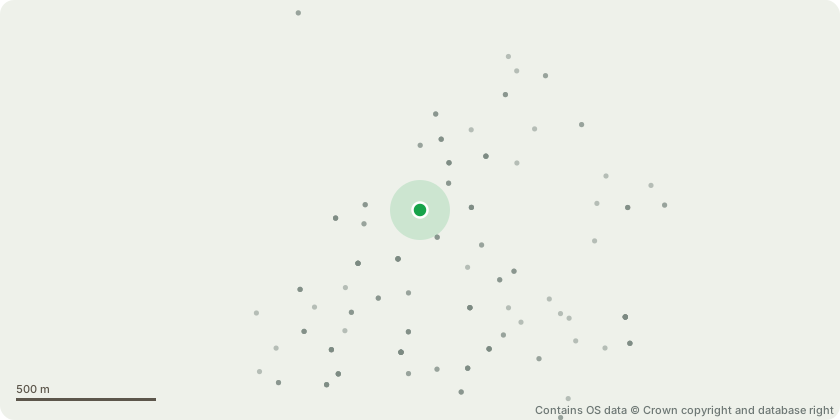
Approximate location - Contains OS data © Crown copyright and database right
Proposal
T1 Beech - Reduce in height and radially by 20ft, from 60ft to 40ft back to suitable growth points (number 46)Reason: the proposed works will maintain the tree's amenity value, as it is in good health with substantial crown growth, and there is no indication it would fail to recover. T2 and T3 Beech - Fell. The two trees were evidently once part of the original hedgerow but have since been allowed to grow beyond its intended form. As a result, they are now out of keeping with the character of the hedgerow and the garden boundaryT4 and T5 Holly - Fell, poor specimens and poor amenity valueT6 Elm - Fell. The tree is a poor specimen, with its angled growth likely caused by suppression from surrounding vegetation or competition for lightThe overall proposed works are remedial in nature and represent good arboricultural practice. They are intended to allow more light into the garden area and to ensure that the growth of the hedges and trees remains proportionate and does not become dominant or unmanageable
Key dates
- Received 6 Jun 2025
- Validated 6 Jun 2025
- Started 6 Jun 2025
- Decided 1 Aug 2025
Planning history / related applications
No related planning applications have been identified in the current public OGL dataset.
Inside plotEdge
Go beyond the public record
This page is the public OGL record. plotEdge adds the private intelligence layer for this site - open it in the app to unlock:
- Ownership & title Registered owner and title from HM Land Registry.
- Viability & build potential Site scoring and development upside.
- Constraints Flood risk, green belt, conservation areas and designations.
- Approval signal Planning risk and approval-likelihood analysis.
- Comparable applications Decisions on similar nearby sites, side by side.
- Status alerts Get notified the moment this application changes.
Source: public planning application data from Leeds, reused under the Open Government Licence v3.0. View the council source record. Council documents and drawings are not republished on plotEdge.