Leeds
Leeds/25/01243/TR
Barrington House 29 Sandhill Lane Moortown Leeds LS17 6AJ
- Reference
- Leeds/25/01243/TR
- Authority
- Leeds
- Application type
- TR
- Address
- Barrington House 29 Sandhill Lane Moortown Leeds LS17 6AJ
- Postcode
- LS17 6AJ
- Status
- Decided
- Decision
- Split decision
- Received
- 3 Mar 2025
- Validated
- 3 Mar 2025
- Started
- 3 Mar 2025
- Decided
- 14 Mar 2025
- Source council
- Leeds
- Council source record
- View public record
- Public data licence
- Open Government Licence v3.0
- Record updated
- 18 Jul 2026
- SEO index generated
- 24 Jul 2026
Location
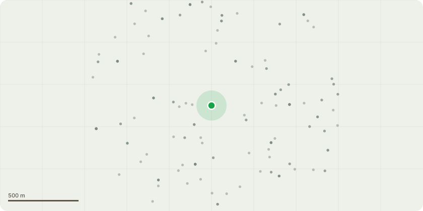
Approximate location
Proposal
T1 Lime - Reduce crown to previous points of reduction by an estimated 3 meters. Identified with a occluded union and co-dominant stems. The tree has been reduced and crown lifted in the past which has created a high crown. At the base of the co-dominant stems, at around 6 meters above ground level, a union has formed and could possibly be showing signs of bacterial canker. Without further closer inspection it won't be able to determine the cause. The reduction will allow the weight and stress to be removed from the union. T2 Beech - To reduce the crown to historical reductions points, estimated at around 2-3mT3 Sycamore -Removal to ground level. This tree appears to be in decline with a more than average number of dead branches throughout the crown. There is also a cavity at the base. Again, without further inspection, the extent of the cavity can not be determined. T4 Beech - To reduce the crown over Sand Hills Lane to give the tree a more balanced crown, estimated at 2m. The crown is asymmetrical at the moment and it is hoped that the tree will respond by producing more growth on the Northern face of the tree.T5 multi-stemmed Lime - To remove to ground level. This tree has 3 stems and there are concerns that it could split out at the base in the future as it grows. The crown has been high lifted historically with the weight of the crown high up. This adds to the stress at the base. Any trees that are removed will be replaced with Liquidamber or upright Hornbeam.
Key dates
- Received 3 Mar 2025
- Validated 3 Mar 2025
- Started 3 Mar 2025
- Decided 14 Mar 2025
Planning history / related applications
No related planning applications have been identified in the current public OGL dataset.
Inside plotEdge
Go beyond the public record
This page is the public OGL record. plotEdge adds the private intelligence layer for this site - open it in the app to unlock:
- Ownership & title Registered owner and title from HM Land Registry.
- Viability & build potential Site scoring and development upside.
- Constraints Flood risk, green belt, conservation areas and designations.
- Approval signal Planning risk and approval-likelihood analysis.
- Comparable applications Decisions on similar nearby sites, side by side.
- Status alerts Get notified the moment this application changes.
Source: public planning application data from Leeds, reused under the Open Government Licence v3.0. View the council source record. Council documents and drawings are not republished on plotEdge.