Leeds
Leeds/25/00017/TR
Balks Manor Walkers Lane Lower Wortley Leeds LS12 4AF
- Reference
- Leeds/25/00017/TR
- Authority
- Leeds
- Application type
- TR
- Address
- Balks Manor Walkers Lane Lower Wortley Leeds LS12 4AF
- Postcode
- LS12 4AF
- Status
- Decided
- Decision
- Split decision
- Received
- 2 Jan 2025
- Validated
- 2 Jan 2025
- Started
- 2 Jan 2025
- Decided
- 28 Mar 2025
- Source council
- Leeds
- Council source record
- View public record
- Public data licence
- Open Government Licence v3.0
- Record updated
- 18 Jul 2026
- SEO index generated
- 24 Jul 2026
Location
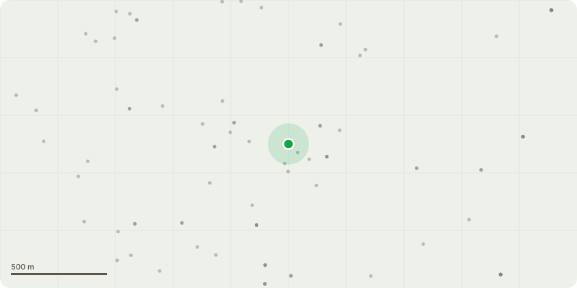
Approximate location
Proposal
T1 Beech - Canopy to be reduced east and south side by up to 2m in length, west side of canopy to be reduced by up to 2m. All pruning to be done to a suitable union in line with BS3998. There is the option to do a full crown reduction of 30% reducing branches on all sides. Where most will be pruned by up to 2m there are some branches that may need up to 3m removed.T2 Lime - Canopy to be reduced by 20% or up to 2m on all sides to a suitable union, in line with BS3998 to reduce wind sail and draw back branches that over hang decked area causing it to be unusable due to residue causing it to be a slip hazard, owner wants to retain tree but at the same time finds it a constant worry due to the size, that along with wanting to maintain the tree to allow more light into neighbouring properties.Also the tree is causing concern for the applicant of damage to property in the event of failure and to be pruned to a manageable and safe size would be the best option to retain the tree as in the event of major mechanical overload it could result in the full tree needing to be removed
Key dates
- Received 2 Jan 2025
- Validated 2 Jan 2025
- Started 2 Jan 2025
- Decided 28 Mar 2025
Planning history / related applications
No related planning applications have been identified in the current public OGL dataset.
Inside plotEdge
Go beyond the public record
This page is the public OGL record. plotEdge adds the private intelligence layer for this site - open it in the app to unlock:
- Ownership & title Registered owner and title from HM Land Registry.
- Viability & build potential Site scoring and development upside.
- Constraints Flood risk, green belt, conservation areas and designations.
- Approval signal Planning risk and approval-likelihood analysis.
- Comparable applications Decisions on similar nearby sites, side by side.
- Status alerts Get notified the moment this application changes.
Source: public planning application data from Leeds, reused under the Open Government Licence v3.0. View the council source record. Council documents and drawings are not republished on plotEdge.