Leeds
Leeds/24/05706/TR
6 Chestnut End Boston Spa Wetherby LS23 6JG
- Reference
- Leeds/24/05706/TR
- Authority
- Leeds
- Application type
- TR
- Address
- 6 Chestnut End Boston Spa Wetherby LS23 6JG
- Postcode
- LS23 6JG
- Status
- Decided
- Decision
- Split decision
- Received
- 3 Oct 2024
- Validated
- 3 Oct 2024
- Started
- 3 Oct 2024
- Decided
- 13 Nov 2024
- Source council
- Leeds
- Council source record
- View public record
- Public data licence
- Open Government Licence v3.0
- Record updated
- 18 Jul 2026
- SEO index generated
- 24 Jul 2026
Location
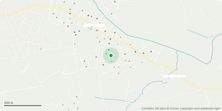
Approximate location - Contains OS data © Crown copyright and database right
Proposal
T1 Maple - Evenly crown thin by approximately 15%, lift the lower crown to achieve a 4 metre clearance from ground level, remove any crossing branches and major dead wood and remove any storm damaged hanging limbs.Reason: historically the tree's had a full crown reduction and now has an overcrowded canopy with lots of crossing branches that need attention to maintain a healthy tree, obvious storm damaged limbs and dead wood as a result of the past pruning also needing attention. G1 Plum group - Remove the dead Plum tree from the group, remove the plum growing against the garage wall generated from an old stump. Reduce the remaining Plum tree by approximately 3 metres in height and 1.5 metres in width.Reason - dead tree in the group to remove, re-generative growth from an old stump will potentially cause damage to the garage to remove and the reduction of the remaining tree is to tidy for aesthetical reasons after the other two removals.Replanting - The area where the tree is to be removed is densely covered with mature shrubs and the tree removal is within a metre of the retained tree so not a lot of room for a replacement but if necessary can I suggest re-planting with a standard size Birch somewhere near by.
Key dates
- Received 3 Oct 2024
- Validated 3 Oct 2024
- Started 3 Oct 2024
- Decided 13 Nov 2024
Planning history / related applications
No related planning applications have been identified in the current public OGL dataset.
Inside plotEdge
Go beyond the public record
This page is the public OGL record. plotEdge adds the private intelligence layer for this site - open it in the app to unlock:
- Ownership & title Registered owner and title from HM Land Registry.
- Viability & build potential Site scoring and development upside.
- Constraints Flood risk, green belt, conservation areas and designations.
- Approval signal Planning risk and approval-likelihood analysis.
- Comparable applications Decisions on similar nearby sites, side by side.
- Status alerts Get notified the moment this application changes.
Source: public planning application data from Leeds, reused under the Open Government Licence v3.0. View the council source record. Council documents and drawings are not republished on plotEdge.