Leeds
Leeds/24/05265/TR
64 Woodhall Lane Stanningley Pudsey LS28 5NY
- Reference
- Leeds/24/05265/TR
- Authority
- Leeds
- Application type
- TR
- Address
- 64 Woodhall Lane Stanningley Pudsey LS28 5NY
- Postcode
- LS28 5NY
- Status
- Decided
- Decision
- Split decision
- Received
- 13 Sept 2024
- Validated
- 13 Sept 2024
- Started
- 13 Sept 2024
- Decided
- 15 Nov 2024
- Source council
- Leeds
- Council source record
- View public record
- Public data licence
- Open Government Licence v3.0
- Record updated
- 18 Jul 2026
- SEO index generated
- 24 Jul 2026
Location
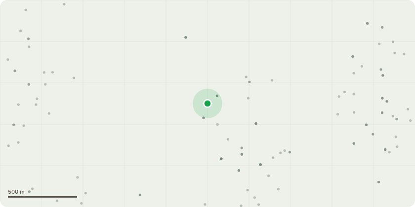
Approximate location
Proposal
G1 Group of Leylandii - To fell. These trees seem to have been originally planted as a hedge due to there spacing. They have now out grown their space and it is not possible reduce them to a maintainable size whilst retaining an acceptable shape. Re-Plant in the existing location with a Hornbeam hedge. T2 Beech - To crown lift on the northern aspect to give a 2m clearance from over the garage. T3 Beech - To fell. This tree appears to have both Daldinia and Kretzschmaria. The crown is also in decline. Re Plant with 1 Heavy Standard Red Oak in approximately the same location. T4 Ash - To fell. This tree has Ash Die Back and is located near the property, there is a risk of branch failure as the disease progresses. Re-Plant with 1 Norway Maple in approximately the same location. T5 Himalayan Birch - To fell due to low amenity value. Re-Plant with 1 Heavy Standard Rowan in approximately the same location. T6 Lawsons Cypress - To fell due to poor condition and low amenity value. Re-Plant with 1 Crab Apple in approximately the same location. The Re-Planting site are marked with a blue x on the sketch plan.
Key dates
- Received 13 Sept 2024
- Validated 13 Sept 2024
- Started 13 Sept 2024
- Decided 15 Nov 2024
Planning history / related applications
No related planning applications have been identified in the current public OGL dataset.
Inside plotEdge
Go beyond the public record
This page is the public OGL record. plotEdge adds the private intelligence layer for this site - open it in the app to unlock:
- Ownership & title Registered owner and title from HM Land Registry.
- Viability & build potential Site scoring and development upside.
- Constraints Flood risk, green belt, conservation areas and designations.
- Approval signal Planning risk and approval-likelihood analysis.
- Comparable applications Decisions on similar nearby sites, side by side.
- Status alerts Get notified the moment this application changes.
Source: public planning application data from Leeds, reused under the Open Government Licence v3.0. View the council source record. Council documents and drawings are not republished on plotEdge.