Leeds
Leeds/24/05037/TR
Ralph Thoresby School Holtdale Approach Adel Leeds LS16 7RX
- Reference
- Leeds/24/05037/TR
- Authority
- Leeds
- Application type
- TR
- Address
- Ralph Thoresby School Holtdale Approach Adel Leeds LS16 7RX
- Postcode
- LS16 7RX
- Status
- Decided
- Decision
- Approved
- Received
- 4 Sept 2024
- Validated
- 4 Sept 2024
- Started
- 4 Sept 2024
- Decided
- 10 Oct 2024
- Source council
- Leeds
- Council source record
- View public record
- Public data licence
- Open Government Licence v3.0
- Record updated
- 18 Jul 2026
- SEO index generated
- 24 Jul 2026
Location
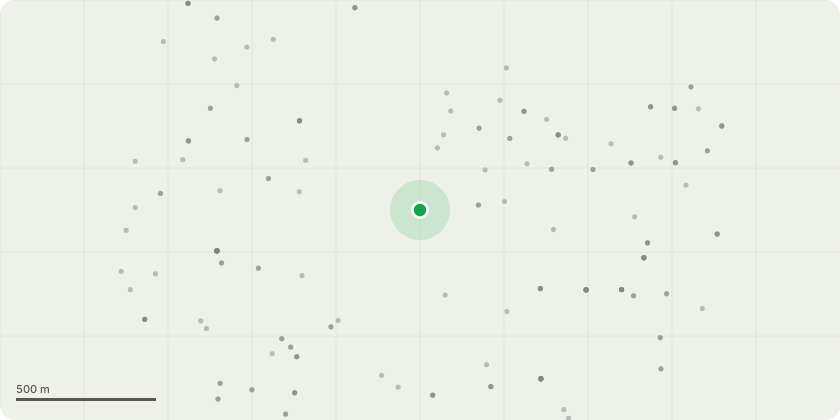
Approximate location
Proposal
G1 Mixed species - Rear of the schoolReduce the Birch trees in the entrance to the service yard by approximately 2-3 metres to shape and cut back to clear the building to clear by 2 metres, crown lift the trees next to the gate to approximately 5.2m to allow vehicles to pass.Crown lift the trees in the back playground to clear ground level by approximately 3 metres.Cut back all the trees growing over the back foot path to as close to the fence line as possible (approx 2m from the branch tips max) and clear any street lights to allow full light cast over footway. Crown lift to facilitate 3m clearance from ground level full length of footpathFront car park areaCut back lateral growth to clear parking bays by 1.5m to a height of 5.2 on all aspects but only on the car park side of the trees (no height reduction) prune to clear sight lines for CCTV and clear lighting columns by 1.5-2m where possible and remove the large dead tree over the fence line towards the fire station to ground level. To clear the CCTV cameras and lighting units around the car park.Remove the three Poplar trees roadside to ground level and cut back all the trees overhanging the fence towards the highway (approx 2m from the branch tips max). The area where the Poplars are located is already heavily populated with mixed tree species so no replacements would be preferred but if necessary I would suggest x3 Silver Birch planted as close to the Poplars original location as possible located on the map already provided.
Key dates
- Received 4 Sept 2024
- Validated 4 Sept 2024
- Started 4 Sept 2024
- Decided 10 Oct 2024
Planning history / related applications
No related planning applications have been identified in the current public OGL dataset.
Inside plotEdge
Go beyond the public record
This page is the public OGL record. plotEdge adds the private intelligence layer for this site - open it in the app to unlock:
- Ownership & title Registered owner and title from HM Land Registry.
- Viability & build potential Site scoring and development upside.
- Constraints Flood risk, green belt, conservation areas and designations.
- Approval signal Planning risk and approval-likelihood analysis.
- Comparable applications Decisions on similar nearby sites, side by side.
- Status alerts Get notified the moment this application changes.
Source: public planning application data from Leeds, reused under the Open Government Licence v3.0. View the council source record. Council documents and drawings are not republished on plotEdge.