Leeds
Leeds/24/04766/TR
Spring Vale 48A Main Street Thorner Leeds LS14 3BU
- Reference
- Leeds/24/04766/TR
- Authority
- Leeds
- Application type
- TR
- Address
- Spring Vale 48A Main Street Thorner Leeds LS14 3BU
- Postcode
- LS14 3BU
- Status
- Decided
- Decision
- No Objection
- Received
- 21 Aug 2024
- Validated
- 21 Aug 2024
- Started
- 21 Aug 2024
- Decided
- 5 Sept 2024
- Source council
- Leeds
- Council source record
- View public record
- Public data licence
- Open Government Licence v3.0
- Record updated
- 18 Jul 2026
- SEO index generated
- 24 Jul 2026
Location
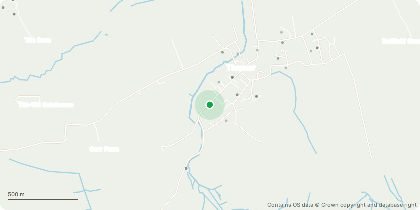
Approximate location - Contains OS data © Crown copyright and database right
Proposal
H1 and H2 Hornbeam - We would like to lower the canopy to a radius of 5m to reduce potential damage to the house and provide sufficient clearance. They are growing towards the house in search of light and are almost in contact with our roof and first floor windows. B1 Birch - Fell, the birch is 4 metres from the house and leaning towards our property. We would replace the tree with a more appropriate sized tree, such a Japanese Acer, to grow at the edge of the remaining tree canopy.B2 Birch - Fell dead tree in border. Thin, dead birch with no branches or leaves and growing in close proximity to an adjacent conifer. We would replace the tree with a large shrub under the remaining tree canopy, such as a Camellia.B3 Birch - Fell to ground level. Low amenity value (added by LCC Officer following site visit 04.09.2024)
Key dates
- Received 21 Aug 2024
- Validated 21 Aug 2024
- Started 21 Aug 2024
- Decided 5 Sept 2024
Planning history / related applications
No related planning applications have been identified in the current public OGL dataset.
Inside plotEdge
Go beyond the public record
This page is the public OGL record. plotEdge adds the private intelligence layer for this site - open it in the app to unlock:
- Ownership & title Registered owner and title from HM Land Registry.
- Viability & build potential Site scoring and development upside.
- Constraints Flood risk, green belt, conservation areas and designations.
- Approval signal Planning risk and approval-likelihood analysis.
- Comparable applications Decisions on similar nearby sites, side by side.
- Status alerts Get notified the moment this application changes.
Source: public planning application data from Leeds, reused under the Open Government Licence v3.0. View the council source record. Council documents and drawings are not republished on plotEdge.