Lambeth
Lambeth/26/01442/FUL
46 Acre Lane London Lambeth SW2 5SP
- Reference
- Lambeth/26/01442/FUL
- Authority
- Lambeth
- Application type
- Full permission
- Address
- 46 Acre Lane London Lambeth SW2 5SP
- Postcode
- SW2 5SP
- Status
- Awaiting decision
- Received
- 12 May 2026
- Started
- 12 May 2026
- Source council
- Lambeth
- Council source record
- View public record
- Public data licence
- Open Government Licence v3.0
- Record updated
- 18 Jul 2026
- SEO index generated
- 24 Jul 2026
Location
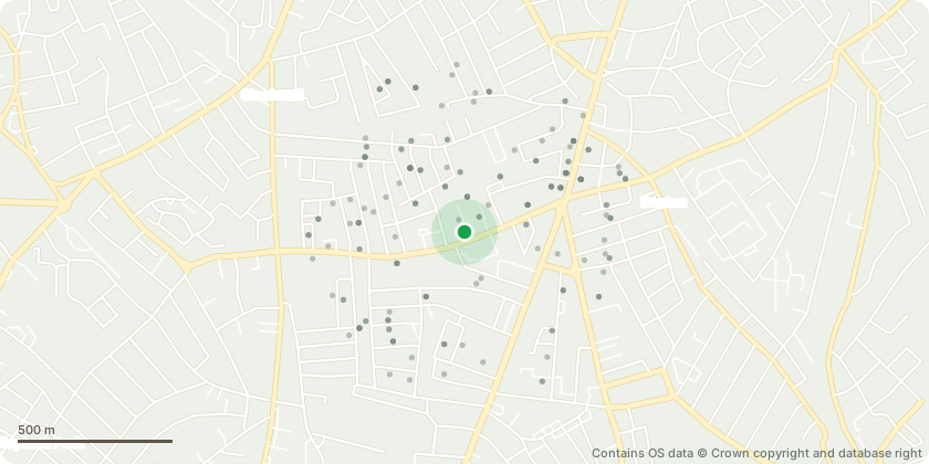
Approximate location - Contains OS data © Crown copyright and database right
Proposal
Replacement of brick pavers with heritage clay brick pavers to match new concrete paving, Replacement of existing timber sashes on a like-for-like basis with laminated glass and repairs to the existing box frames, Masonry repairs to the stone cornice detail to the front elevation, replace the existing covering and flat roof sectionsInternal Works - Fire door renewals Provision of new main building entrance doors MEP works across the buildings Internal remodelling including the provision of en-suite facilities, creation of new front entrance to the scheme via the car park, relocation of existing reception area to proposed front entrance and creation of new communal area, creation of new communal kitchen in place of bathing facilities (Please note: The reference number for this Listed Building Consent application is 26/01443/LB but there is also an associated application for Full Planning Permission related to these works with reference number: 26/01442/FUL)
Key dates
- Received 12 May 2026
- Started 12 May 2026
Planning history / related applications
No related planning applications have been identified in the current public OGL dataset.
Inside plotEdge
Go beyond the public record
This page is the public OGL record. plotEdge adds the private intelligence layer for this site - open it in the app to unlock:
- Ownership & title Registered owner and title from HM Land Registry.
- Viability & build potential Site scoring and development upside.
- Constraints Flood risk, green belt, conservation areas and designations.
- Approval signal Planning risk and approval-likelihood analysis.
- Comparable applications Decisions on similar nearby sites, side by side.
- Status alerts Get notified the moment this application changes.
Source: public planning application data from Lambeth, reused under the Open Government Licence v3.0. View the council source record. Council documents and drawings are not republished on plotEdge.