Lambeth
Lambeth/26/00955/TCA
Medical School St Thomas' Hospital 249 Westminster Bridge Road London SE1 7EH
- Reference
- Lambeth/26/00955/TCA
- Authority
- Lambeth
- Application type
- Trees in conservation area
- Address
- Medical School St Thomas' Hospital 249 Westminster Bridge Road London SE1 7EH
- Postcode
- SE1 7EH
- Status
- Unknown
- Decision
- Raise No Objection
- Received
- 25 Mar 2026
- Validated
- 25 Mar 2026
- Started
- 25 Mar 2026
- Decided
- 11 May 2026
- Source council
- Lambeth
- Council source record
- View public record
- Public data licence
- Open Government Licence v3.0
- Record updated
- 18 Jul 2026
- SEO index generated
- 24 Jul 2026
Location
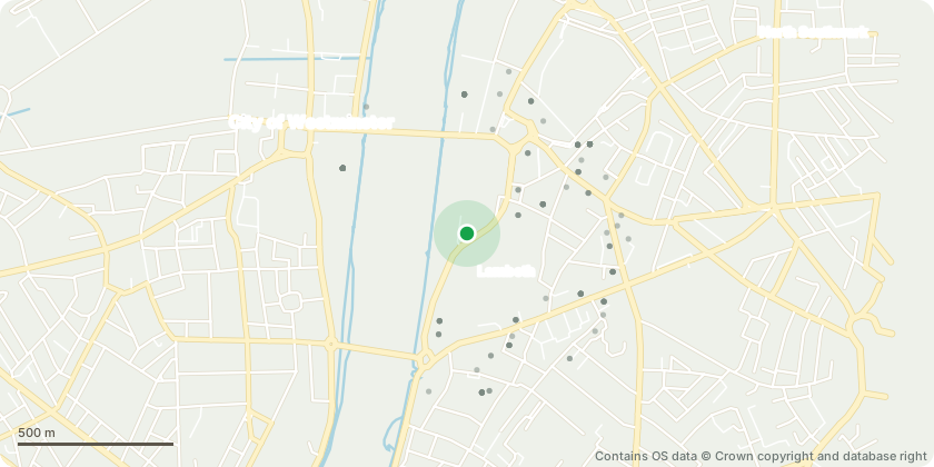
Approximate location - Contains OS data © Crown copyright and database right
Proposal
Western boundary of the St Thomas Hospital estate adjacent to Albert Embankment and the River Thames frontage.Tree works:Tree 621 Platanus hispanica London plane. Remove deadwood.Tree 618 Platanus hispanica London plane. Remove deadwood.Tree 617 Platanus hispanica London plane. Remove deadwood.Tree 619 Platanus hispanica London plane. Crown reduce by up to 2m and remove deadwood.Tree 622 Platanus hispanica London plane. Remove deadwood.Tree 385 Platanus hispanica London plane. Reduce eastern canopy and upper eastern canopy by up to 2m to integrate with the existing pruned canopy.Tree 613 Platanus orientalis Oriental plane. Cut back from building to provide 2m clearance.Council Note:On further examination of Council records the trees are not protected by a Tree Preservation Order. The application has therefore been reclassified and assessed as a section 211 Conservation Area notification. The original application reference retains the TPO suffix for administrative reasons within Uniform. The trees are located within CA57 Albert Embankment Conservation Area. The Council does not object to the notified tree works.
Key dates
- Received 25 Mar 2026
- Validated 25 Mar 2026
- Started 25 Mar 2026
- Decided 11 May 2026
Planning history / related applications
No related planning applications have been identified in the current public OGL dataset.
Inside plotEdge
Go beyond the public record
This page is the public OGL record. plotEdge adds the private intelligence layer for this site - open it in the app to unlock:
- Ownership & title Registered owner and title from HM Land Registry.
- Viability & build potential Site scoring and development upside.
- Constraints Flood risk, green belt, conservation areas and designations.
- Approval signal Planning risk and approval-likelihood analysis.
- Comparable applications Decisions on similar nearby sites, side by side.
- Status alerts Get notified the moment this application changes.
Source: public planning application data from Lambeth, reused under the Open Government Licence v3.0. View the council source record. Council documents and drawings are not republished on plotEdge.