Lambeth
Lambeth/25/03693/DET
67 Loughborough Park London SW9 8TP
- Reference
- Lambeth/25/03693/DET
- Authority
- Lambeth
- Application type
- DET
- Address
- 67 Loughborough Park London SW9 8TP
- Postcode
- SW9 8TP
- Status
- Decided
- Decision
- Grant Permission
- Received
- 14 Nov 2025
- Validated
- 14 Nov 2025
- Started
- 14 Nov 2025
- Decided
- 8 Jan 2026
- Source council
- Lambeth
- Council source record
- View public record
- Public data licence
- Open Government Licence v3.0
- Record updated
- 18 Jul 2026
- SEO index generated
- 24 Jul 2026
Location
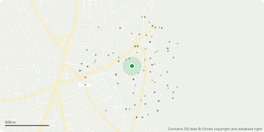
Approximate location - Contains OS data © Crown copyright and database right
Proposal
Approval of details pursuant to condition 4 (Window Details) of planning permission 24/04030/LB (Application for Listed Building Consent in relation to external and internal works of repair and decoration. External works to include: replacement of the existing UPVC window with a timber window, replacing broken or missing roof slates, securing slipped ones, and carrying out brick repairs and repointing on chimneys. Redressing of lead flashings where needed, and steam cleaning and re-bedding of coping stones. Replacement of defective sections of guttering. Roof repairs and replacements on the portico entrance and garage. Renewal of damaged sections of fascias and soffits as necessary. Brick repairs and repointing of external walls, with concrete and plaster repairs where required. Restoration of timber sash windows and casement doors, along with concrete windowsills and metal handrails. Internal works (communal areas) to include installation of new LED light fittings and undertaking localised repairs to staircases) granted on 25.04.2025.
Key dates
- Received 14 Nov 2025
- Validated 14 Nov 2025
- Started 14 Nov 2025
- Decided 8 Jan 2026
Planning history / related applications
No related planning applications have been identified in the current public OGL dataset.
Inside plotEdge
Go beyond the public record
This page is the public OGL record. plotEdge adds the private intelligence layer for this site - open it in the app to unlock:
- Ownership & title Registered owner and title from HM Land Registry.
- Viability & build potential Site scoring and development upside.
- Constraints Flood risk, green belt, conservation areas and designations.
- Approval signal Planning risk and approval-likelihood analysis.
- Comparable applications Decisions on similar nearby sites, side by side.
- Status alerts Get notified the moment this application changes.
Source: public planning application data from Lambeth, reused under the Open Government Licence v3.0. View the council source record. Council documents and drawings are not republished on plotEdge.