Lambeth
Lambeth/25/03530/TCA
12 Crescent Grove London SW4 7AH
- Reference
- Lambeth/25/03530/TCA
- Authority
- Lambeth
- Application type
- Trees in conservation area
- Address
- 12 Crescent Grove London SW4 7AH
- Postcode
- SW4 7AH
- Status
- Unknown
- Decision
- Raise No Objection
- Received
- 12 Nov 2025
- Validated
- 12 Nov 2025
- Started
- 12 Nov 2025
- Decided
- 11 Dec 2025
- Source council
- Lambeth
- Council source record
- View public record
- Public data licence
- Open Government Licence v3.0
- Record updated
- 18 Jul 2026
- SEO index generated
- 24 Jul 2026
Location
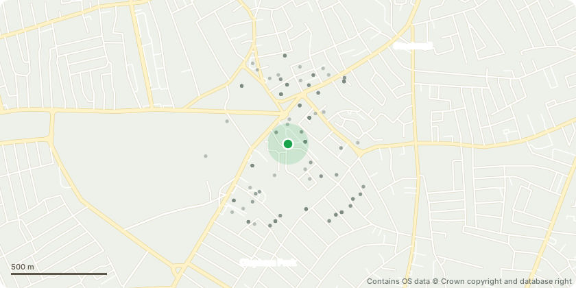
Approximate location - Contains OS data © Crown copyright and database right
Proposal
Crescent Grove Central communal open space:T17 Wild Cherry: Thin upper canopy by 20 to 25 percent to reduce weight loading on stem canker. Notable major cherry canker wound with decay progressing into main stem causing a weak point.T22 Wild Cherry: Thin upper canopy by 20 to 25 percent to reduce weight loading on heavy limbs. Major surface roots with heavy limbs and dense canopy suggesting reduction of weight loading.Crescent Grove Boundary strip between Crescent Grove and Crescent Lane:T47a False Acacia: Reduce crown by 3m and shape. Clear street light by 2m. Small to medium self sown tree leaning toward road with limited long term future.T50 London Plane: Re reduce crown to previous pollard points framework pollard. Severe decay at base on northern flank with long history of major reduction to maintain framework pollard.Note on protected trees: T1 Tree of Heaven was inspected on site by the Arboricultural Officer and is identified as T11 under TPO 10 Crescent Grove 1966. Works to TPO protected trees cannot be determined under a Conservation Area notification. A separate TPO application must be submitted for any works to the protected Tree of Heaven T1/T11 under TPO 10 1966.
Key dates
- Received 12 Nov 2025
- Validated 12 Nov 2025
- Started 12 Nov 2025
- Decided 11 Dec 2025
Planning history / related applications
No related planning applications have been identified in the current public OGL dataset.
Inside plotEdge
Go beyond the public record
This page is the public OGL record. plotEdge adds the private intelligence layer for this site - open it in the app to unlock:
- Ownership & title Registered owner and title from HM Land Registry.
- Viability & build potential Site scoring and development upside.
- Constraints Flood risk, green belt, conservation areas and designations.
- Approval signal Planning risk and approval-likelihood analysis.
- Comparable applications Decisions on similar nearby sites, side by side.
- Status alerts Get notified the moment this application changes.
Source: public planning application data from Lambeth, reused under the Open Government Licence v3.0. View the council source record. Council documents and drawings are not republished on plotEdge.