Lambeth
Lambeth/25/03393/TPO
165 Kennington Road London Lambeth SE11 6SF
- Reference
- Lambeth/25/03393/TPO
- Authority
- Lambeth
- Application type
- Tree preservation order
- Address
- 165 Kennington Road London Lambeth SE11 6SF
- Postcode
- SE11 6SF
- Status
- Decided
- Decision
- Refuse Permission
- Received
- 29 Oct 2025
- Validated
- 29 Oct 2025
- Started
- 29 Oct 2025
- Decided
- 20 Jan 2026
- Source council
- Lambeth
- Council source record
- View public record
- Public data licence
- Open Government Licence v3.0
- Record updated
- 18 Jul 2026
- SEO index generated
- 24 Jul 2026
Location
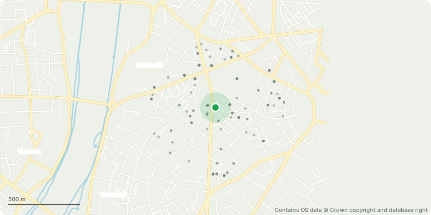
Approximate location - Contains OS data © Crown copyright and database right
Proposal
Tree Preservation Order No. 520 (2025) T1 Sycamore.Tree Works Submitted:Fell 1 No. front garden sycamore tree causing damage to drainage system in addition to the following issues raised at point of survey, please see supporting docs etc. attachedExtensive crown dieback, evidence of poor pollardingpractice, root damage from encroachinginfrastructure, including gas and sewage pipesthrough RPA. Tree has outgrown location, causingshading and structural impacts on neighbouringproperties and public realm.There is a problem with the water pipe and now the bushes have been removed, you can see the extent of it. Pic attached. You can't access the pipes without damaging the treeWe already have the feedback from Thames Water that we're losing 5-8 litre an hour. The main objective is actually to fix the pipe work under the tree which we can't access it without cutting back the roots and one of them is significant. The other objective is to replace the pipe work since it's a lead pipe which isn't good for obvious health reasons. Therefore, between the leak and the lead pipe we need to access and repair / replace the pipe work. (see attached pics)
Key dates
- Received 29 Oct 2025
- Validated 29 Oct 2025
- Started 29 Oct 2025
- Decided 20 Jan 2026
Planning history / related applications
No related planning applications have been identified in the current public OGL dataset.
Inside plotEdge
Go beyond the public record
This page is the public OGL record. plotEdge adds the private intelligence layer for this site - open it in the app to unlock:
- Ownership & title Registered owner and title from HM Land Registry.
- Viability & build potential Site scoring and development upside.
- Constraints Flood risk, green belt, conservation areas and designations.
- Approval signal Planning risk and approval-likelihood analysis.
- Comparable applications Decisions on similar nearby sites, side by side.
- Status alerts Get notified the moment this application changes.
Source: public planning application data from Lambeth, reused under the Open Government Licence v3.0. View the council source record. Council documents and drawings are not republished on plotEdge.