Lambeth
Lambeth/25/03052/S106D
Surrey County Cricket Club Kennington Oval London SE11 5SS
- Reference
- Lambeth/25/03052/S106D
- Authority
- Lambeth
- Application type
- SD
- Address
- Surrey County Cricket Club Kennington Oval London SE11 5SS
- Postcode
- SE11 5SS
- Status
- Awaiting decision
- Received
- 15 Sept 2025
- Started
- 15 Sept 2025
- Source council
- Lambeth
- Council source record
- View public record
- Public data licence
- Open Government Licence v3.0
- Record updated
- 18 Jul 2026
- SEO index generated
- 24 Jul 2026
Location
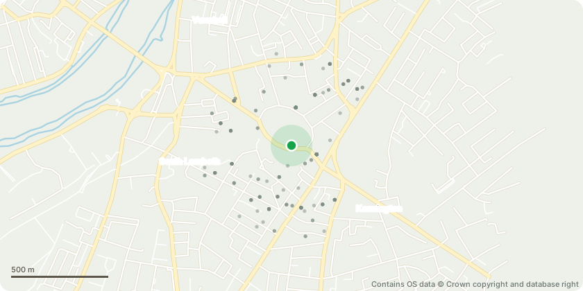
Approximate location - Contains OS data © Crown copyright and database right
Proposal
Submission of details to discharge: Schedule 4, Part 9, para. 2 (CCTV Management Strategy); Schedule 5, Part 1, para. 2 (CCTV Management Strategy - Peter May Stand); Schedule 4, Part 9, para. 3 (Visitor and Staff Travel Plan); Schedule 5, Part 2, para. 3 (Visitor and Staff Travel Plan - Peter May Stand); Schedule 6 part 8 (Litter collection) of the Section 106 Agreement dated 13/06/2019, associated with planning application ref: 18/01799/FUL (Demolition of the existing Lock Laker Stand and other existing buildings, including a ticket office, a security office, storage facilities and offices, and the erection of a three tier spectator stand (to increase the overall seating capacity by 2,303 seats); a linked four storey building to accommodate a ground floor covered concourse, reception/club shop, ticket office and hospitality and conferencing facilities; new mesh cladding at the northern end of the Bedser Stand street elevation to match the new three tier stand; and a minor re-alignment of the boundary railings adjacent to the Hobbs entrance gate.) granted on 14/06/2019.
Key dates
- Received 15 Sept 2025
- Started 15 Sept 2025
Planning history / related applications
No related planning applications have been identified in the current public OGL dataset.
Inside plotEdge
Go beyond the public record
This page is the public OGL record. plotEdge adds the private intelligence layer for this site - open it in the app to unlock:
- Ownership & title Registered owner and title from HM Land Registry.
- Viability & build potential Site scoring and development upside.
- Constraints Flood risk, green belt, conservation areas and designations.
- Approval signal Planning risk and approval-likelihood analysis.
- Comparable applications Decisions on similar nearby sites, side by side.
- Status alerts Get notified the moment this application changes.
Source: public planning application data from Lambeth, reused under the Open Government Licence v3.0. View the council source record. Council documents and drawings are not republished on plotEdge.