Lambeth
Lambeth/25/02750/TPO
49 Lansdowne Gardens London SW8 2EL
- Reference
- Lambeth/25/02750/TPO
- Authority
- Lambeth
- Application type
- Tree preservation order
- Address
- 49 Lansdowne Gardens London SW8 2EL
- Postcode
- SW8 2EL
- Status
- Decided
- Decision
- Refuse Permission
- Received
- 1 Sept 2025
- Validated
- 9 Sept 2025
- Started
- 9 Sept 2025
- Decided
- 29 Oct 2025
- Source council
- Lambeth
- Council source record
- View public record
- Public data licence
- Open Government Licence v3.0
- Record updated
- 18 Jul 2026
- SEO index generated
- 24 Jul 2026
Location
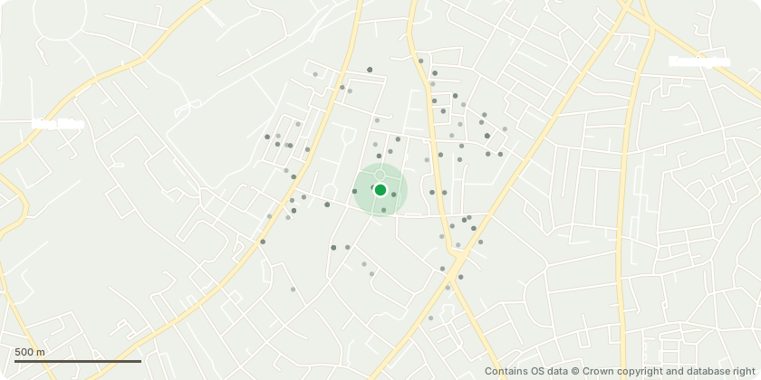
Approximate location - Contains OS data © Crown copyright and database right
Proposal
The London Borough of Lambeth (Tree Preservation Order No. 15 Lansdowne Gardens and 12 Guildford Road 1969,: Confirmed 1970). T22 Horse Chestnut.Back Garden: 1 x Horse Chestnut (T1): Fell. Reason: The horse chestnut is in poor overall condition and removal is recommended for the following reasons:- Decline from cyclical pruning: The tree has been subject to repeated heavy pruning, resulting in poor regrowth and a suppressed crown form.- Aesthetic decline: The tree is heavily disfigured and further impacted by infestation of horse chestnut leaf miner (Cameraria ohridella), which causes extensive leaf damage and significantly reduces amenity value.- Reduced vigour: The tree displays very low vitality and limited capacity for recovery, indicating ongoing physiological decline.- Structural issues: The tree is leaning and has begun to crack the adjacent wall, creating potential for further damage.- Site constraints: The rooting area is restricted, further contributing to poor condition and long-term unsuitability for retention.
Key dates
- Received 1 Sept 2025
- Validated 9 Sept 2025
- Started 9 Sept 2025
- Decided 29 Oct 2025
Planning history / related applications
No related planning applications have been identified in the current public OGL dataset.
Inside plotEdge
Go beyond the public record
This page is the public OGL record. plotEdge adds the private intelligence layer for this site - open it in the app to unlock:
- Ownership & title Registered owner and title from HM Land Registry.
- Viability & build potential Site scoring and development upside.
- Constraints Flood risk, green belt, conservation areas and designations.
- Approval signal Planning risk and approval-likelihood analysis.
- Comparable applications Decisions on similar nearby sites, side by side.
- Status alerts Get notified the moment this application changes.
Source: public planning application data from Lambeth, reused under the Open Government Licence v3.0. View the council source record. Council documents and drawings are not republished on plotEdge.