Lambeth
Lambeth/25/02140/TPO
1-43 Langholm Close Kings Avenue London SW12 0BD
- Reference
- Lambeth/25/02140/TPO
- Authority
- Lambeth
- Application type
- Tree preservation order
- Address
- 1-43 Langholm Close Kings Avenue London SW12 0BD
- Postcode
- SW12 0BD
- Status
- Unknown
- Decision
- Grant Consent
- Received
- 1 Jul 2025
- Validated
- 4 Aug 2025
- Started
- 4 Aug 2025
- Decided
- 14 Oct 2025
- Source council
- Lambeth
- Council source record
- View public record
- Public data licence
- Open Government Licence v3.0
- Record updated
- 18 Jul 2026
- SEO index generated
- 24 Jul 2026
Location
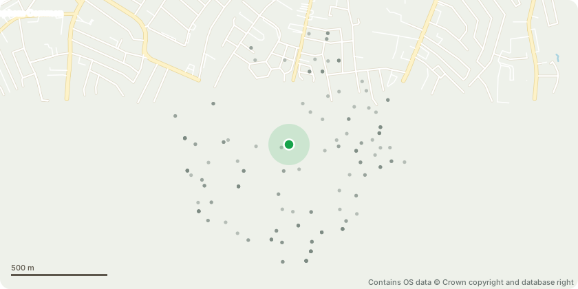
Approximate location - Contains OS data © Crown copyright and database right
Proposal
Tree Preservation Order No. 456 (Clapham Park Estate)Area A1 (all trees within the estate boundary) Date Order Made: 18 December 2007.Located on Sketch Map 10 of 12: T172 SycamoreLaterally reduce on property side by 2 m from a spread of 12 m to a new spread of 10 m.Reason: Complaints from neighbouring property at 217 Kings Avenue to clear building line by 3 m.Located on Sketch Map 5 of 12: T383 and T384 Norway MapleLaterally reduce on property side by 2 m from a spread of 14 m to a new spread of 12 m.Reason: To provide light to the neighbouring block of Tilson Gardens by clearing the property line by 3 m.Located on Sketch Map 2 of 12: T644 Cockspur ThornFell and replace.Reason: Nearly completely dead. Historically all the trees have failed in this space due to the presence of Honey Fungus. New planting will be in a suitable space nearby.Located on Sketch Map 6 of 12: T95 OakThin crown by 10 percent removing crossing and rubbing branches only.Reason: Removal of crossing and rubbing branches to improve the structural integrity and development of the crown. High target area opposite the Clapham Park Cube.
Key dates
- Received 1 Jul 2025
- Validated 4 Aug 2025
- Started 4 Aug 2025
- Decided 14 Oct 2025
Planning history / related applications
No related planning applications have been identified in the current public OGL dataset.
Inside plotEdge
Go beyond the public record
This page is the public OGL record. plotEdge adds the private intelligence layer for this site - open it in the app to unlock:
- Ownership & title Registered owner and title from HM Land Registry.
- Viability & build potential Site scoring and development upside.
- Constraints Flood risk, green belt, conservation areas and designations.
- Approval signal Planning risk and approval-likelihood analysis.
- Comparable applications Decisions on similar nearby sites, side by side.
- Status alerts Get notified the moment this application changes.
Source: public planning application data from Lambeth, reused under the Open Government Licence v3.0. View the council source record. Council documents and drawings are not republished on plotEdge.