Lambeth
Lambeth/25/01870/TPO
1-2 City Of London Almshouses, Ferndale Road London SW9 8AN
- Reference
- Lambeth/25/01870/TPO
- Authority
- Lambeth
- Application type
- Tree preservation order
- Address
- 1-2 City Of London Almshouses, Ferndale Road London SW9 8AN
- Postcode
- SW9 8AN
- Status
- Decided
- Decision
- Refuse Permission
- Received
- 8 Jun 2025
- Validated
- 1 Jul 2025
- Started
- 1 Jul 2025
- Decided
- 4 Sept 2025
- Source council
- Lambeth
- Council source record
- View public record
- Public data licence
- Open Government Licence v3.0
- Record updated
- 18 Jul 2026
- SEO index generated
- 24 Jul 2026
Location
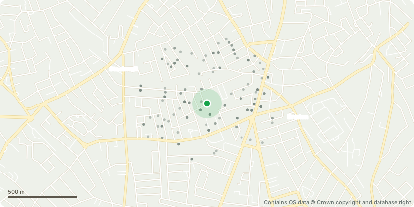
Approximate location - Contains OS data © Crown copyright and database right
Proposal
T946 - Sycamore - Small self-sown tree with main stem 20cm from boundary wall to the west. Fell to prevent any damage to the boundary wallT947 - Sycamore - Self-sown tree with main stem within 0.5m of boundary wall to the west. Fell to prevent any damage to the boundary wallT949 - Sycamore - Within one metre of front boundary. Manhole cover 1m to west and drain vent pipe 0.5m to NE. Footpath 1m to south and 5m from NW corner of buildings. Phone lines running diagonally through crown. Previously topped. Main union at 1.8m with four stems continuing. Southern stem has wound on eastern side of southern sector consistent with previous stem failure. Included union 0.5m above this wound. Included union between stems on west and NW sector. Not significant due to previous crown reduction. Deadwood greater than 100mm diameter and 3m in length over footpath. Average tree with suboptimal form and minimal visual amenity. Location will require continual pruning to maintain size, prevent encroachment onto the building and restrict size of growth on included unions and decaying pruning points. Fell
Key dates
- Received 8 Jun 2025
- Validated 1 Jul 2025
- Started 1 Jul 2025
- Decided 4 Sept 2025
Planning history / related applications
No related planning applications have been identified in the current public OGL dataset.
Inside plotEdge
Go beyond the public record
This page is the public OGL record. plotEdge adds the private intelligence layer for this site - open it in the app to unlock:
- Ownership & title Registered owner and title from HM Land Registry.
- Viability & build potential Site scoring and development upside.
- Constraints Flood risk, green belt, conservation areas and designations.
- Approval signal Planning risk and approval-likelihood analysis.
- Comparable applications Decisions on similar nearby sites, side by side.
- Status alerts Get notified the moment this application changes.
Source: public planning application data from Lambeth, reused under the Open Government Licence v3.0. View the council source record. Council documents and drawings are not republished on plotEdge.