Lambeth
Lambeth/25/01249/TPO
222 Camberwell New Road London SE5 0RR
- Reference
- Lambeth/25/01249/TPO
- Authority
- Lambeth
- Application type
- Tree preservation order
- Address
- 222 Camberwell New Road London SE5 0RR
- Postcode
- SE5 0RR
- Status
- Unknown
- Decision
- Grant Consent
- Received
- 17 Apr 2025
- Validated
- 30 Apr 2025
- Started
- 30 Apr 2025
- Decided
- 20 May 2025
- Source council
- Lambeth
- Council source record
- View public record
- Public data licence
- Open Government Licence v3.0
- Record updated
- 18 Jul 2026
- SEO index generated
- 24 Jul 2026
Location
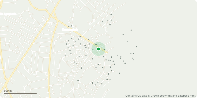
Approximate location - Contains OS data © Crown copyright and database right
Proposal
TPO No. 3, May 1959, T29 Lime and T30 Lime, Front GardenT29: Lime North-west corner (known as 7246): Repollard tree to previous reduction points by approximately 3 to 4m. Rigidiporus fungi on stem (east and SE aspect around 1m). Overhangs highway with high target area. Reduce crown to previous reduction points.T30: Lime (known as 7245): Repollard tree at historic points around approx. 12m. Overhangs highway. Dense sucker growth typical of species restricting detailed inspection although recently pruned.Reason: Works required as part of cyclical highway safety management. T29 has early-stage decay confirmed by tomography and fungal fruiting bodies present; repollarding is precautionary. T30 requires standard repollarding to control regrowth and maintain clearance over the TfL Red Route.
Key dates
- Received 17 Apr 2025
- Validated 30 Apr 2025
- Started 30 Apr 2025
- Decided 20 May 2025
Planning history / related applications
No related planning applications have been identified in the current public OGL dataset.
Inside plotEdge
Go beyond the public record
This page is the public OGL record. plotEdge adds the private intelligence layer for this site - open it in the app to unlock:
- Ownership & title Registered owner and title from HM Land Registry.
- Viability & build potential Site scoring and development upside.
- Constraints Flood risk, green belt, conservation areas and designations.
- Approval signal Planning risk and approval-likelihood analysis.
- Comparable applications Decisions on similar nearby sites, side by side.
- Status alerts Get notified the moment this application changes.
Source: public planning application data from Lambeth, reused under the Open Government Licence v3.0. View the council source record. Council documents and drawings are not republished on plotEdge.