Lambeth
Lambeth/25/00871/VOC
79 - 87 Westminster Bridge Road London SE1 7HR
- Reference
- Lambeth/25/00871/VOC
- Authority
- Lambeth
- Application type
- VOC
- Address
- 79 - 87 Westminster Bridge Road London SE1 7HR
- Postcode
- SE1 7HR
- Status
- Decided
- Decision
- Grant Permission
- Received
- 18 Mar 2025
- Validated
- 18 Mar 2025
- Started
- 18 Mar 2025
- Decided
- 5 Dec 2025
- Source council
- Lambeth
- Council source record
- View public record
- Public data licence
- Open Government Licence v3.0
- Record updated
- 18 Jul 2026
- SEO index generated
- 24 Jul 2026
Location
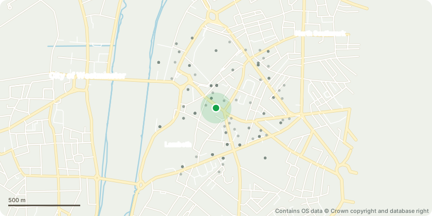
Approximate location - Contains OS data © Crown copyright and database right
Proposal
Variation of conditions 2 (approved plans), 4 (Basement and Tunnel Impact Assessment), 6 (verification report), 11 (ground floor slab), 12 (BREEAM New Construction 2018), 13 (Energy Strategy), 14 (National Calculation Method), 15 (Whole Life Carbon Statement), 16 (post-construction tab), 18 (Flood Warning and Evacuation Plan), 20 (waste and recycling storage), 25 (schedule of all materials), 26 (detailed construction drawings), 37 (scheme of noise and vibration), 44 (ground floor slab) and 46 (scheme of noise insulation and mitigation) of Planning Appeal Ref: APP/N5660/W/23/3335892 of Planning Application Ref: 20/03539/FUL (Erection of a ground plus 14-storey building (plus two basement levels) comprising gym (Class E) at basement level, retail (Class E) at ground floor, office (Class E) at first floor, light industrial (Class E) at second floor and hotel (C1) at part basement, ground and floors 3 to 14, with plant enclosure at roof level, and associated cycle parking, servicing, all necessary enabling works and associated highways improvements.) granted on 11.06.2024Proposed amendments- Division of the permitted scheme into two phases- Addition of second staircase- Reconfiguration of building core- Minor internal amendments
Key dates
- Received 18 Mar 2025
- Validated 18 Mar 2025
- Started 18 Mar 2025
- Decided 5 Dec 2025
Planning history / related applications
No related planning applications have been identified in the current public OGL dataset.
Inside plotEdge
Go beyond the public record
This page is the public OGL record. plotEdge adds the private intelligence layer for this site - open it in the app to unlock:
- Ownership & title Registered owner and title from HM Land Registry.
- Viability & build potential Site scoring and development upside.
- Constraints Flood risk, green belt, conservation areas and designations.
- Approval signal Planning risk and approval-likelihood analysis.
- Comparable applications Decisions on similar nearby sites, side by side.
- Status alerts Get notified the moment this application changes.
Source: public planning application data from Lambeth, reused under the Open Government Licence v3.0. View the council source record. Council documents and drawings are not republished on plotEdge.