Lambeth
Lambeth/24/03664/NMC
61 Lilford Road London SE5 9HY
- Reference
- Lambeth/24/03664/NMC
- Authority
- Lambeth
- Application type
- NMC
- Address
- 61 Lilford Road London SE5 9HY
- Postcode
- SE5 9HY
- Status
- Decided
- Decision
- Grant Permission
- Received
- 22 Nov 2024
- Validated
- 22 Nov 2024
- Started
- 22 Nov 2024
- Decided
- 20 Dec 2024
- Source council
- Lambeth
- Council source record
- View public record
- Public data licence
- Open Government Licence v3.0
- Record updated
- 18 Jul 2026
- SEO index generated
- 24 Jul 2026
Location
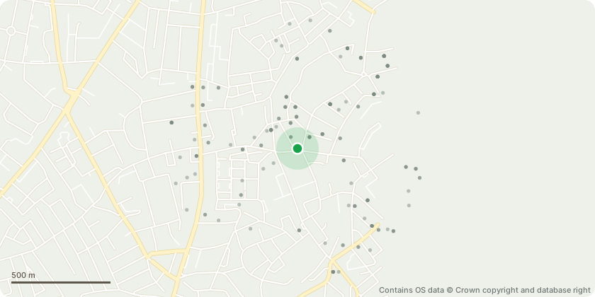
Approximate location - Contains OS data © Crown copyright and database right
Proposal
Application for a Non-Material Amendment following a grant of Planning Permission ref: 22/04096/FUL (Demolition of the existing buildings and redevelopment of the site to provide a multi let industrial estate comprising Use Classes E (g) (ii) and (iii), B2 and B8 with cycle parking, hard and soft landscaping and associated works.), granted on 01/08/2023.Amendments sought:- Amendments to the gym area and the relevant seating provision and landscaping zone;- Amendments to the position of 2no. disabled parking areas;- Amendments to the layout of internal road to allow for introduction of gap between the end of the parking bays and the buildings;- Amendments to the location of internal landscaping;- Amendments to the size of the substation;- Further detailing in the treatments of the floor surfaces; Roof terrace finish updated and planters omitted;- Reduction in the number of roof access hatches;- Update in the fall restraint cable system;- Amendments to the position of windows; Addition of louvres at high level internal elevations;- Omission of green roofs from entrance canopies to the buildings;- Addition of mid transoms at high level;- Amendments to the size of vision panels;and other amendments.
Key dates
- Received 22 Nov 2024
- Validated 22 Nov 2024
- Started 22 Nov 2024
- Decided 20 Dec 2024
Planning history / related applications
No related planning applications have been identified in the current public OGL dataset.
Inside plotEdge
Go beyond the public record
This page is the public OGL record. plotEdge adds the private intelligence layer for this site - open it in the app to unlock:
- Ownership & title Registered owner and title from HM Land Registry.
- Viability & build potential Site scoring and development upside.
- Constraints Flood risk, green belt, conservation areas and designations.
- Approval signal Planning risk and approval-likelihood analysis.
- Comparable applications Decisions on similar nearby sites, side by side.
- Status alerts Get notified the moment this application changes.
Source: public planning application data from Lambeth, reused under the Open Government Licence v3.0. View the council source record. Council documents and drawings are not republished on plotEdge.