Lambeth
Lambeth/24/03414/VOC
54 Kennington Road London SE1 7BJ
- Reference
- Lambeth/24/03414/VOC
- Authority
- Lambeth
- Application type
- VOC
- Address
- 54 Kennington Road London SE1 7BJ
- Postcode
- SE1 7BJ
- Status
- Decided
- Decision
- Grant Permission
- Received
- 1 Nov 2024
- Validated
- 1 Nov 2024
- Started
- 1 Nov 2024
- Decided
- 27 May 2025
- Source council
- Lambeth
- Council source record
- View public record
- Public data licence
- Open Government Licence v3.0
- Record updated
- 18 Jul 2026
- SEO index generated
- 24 Jul 2026
Location
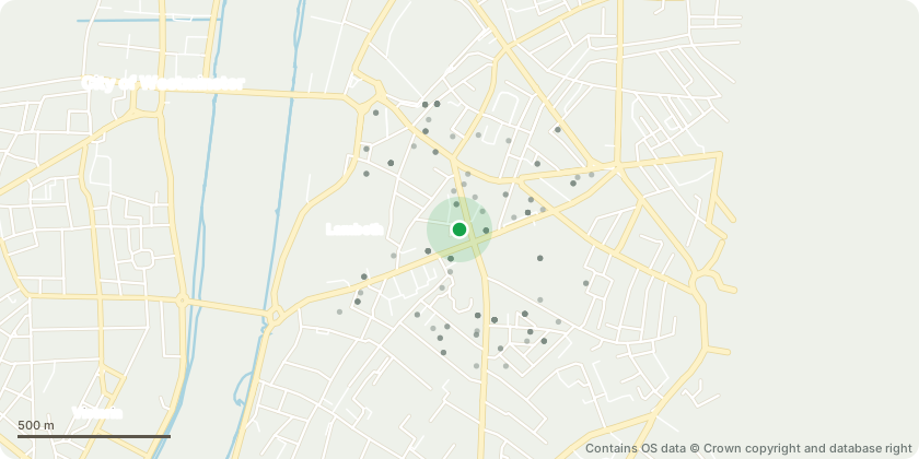
Approximate location - Contains OS data © Crown copyright and database right
Proposal
Variation of Conditions 2 and 36 (approved drawings and car parking) of planning permission 21/02475/FUL (Partial demolition of existing hotel building and construction of an interconnected 14 storey building (plus basement) as well as part one, six and seven storey rear extensions, and single storey roof extension to existing building, to provide hotel accommodation (with ancillary restaurant, bar, café, gym and meeting space), and other associated works) granted 28.10.2022.Amendments sought:- Introduction of limited sized second basement for plant rooms and equipment;- Adjustments to corner entrance on Kennington Road / Lambeth Road;- Increase in size of courtyard entrance;- Introduction of two new dry riser inlets for fire safety reasons;- Introduction of new glazed balconies for twelfth floor guestrooms;- Alterations to rooftop plant, resulting in an increased overall height of the building of 500mm;- Removal of 2no. on-site Blue Badge car parking bays with off-site provision proposed in its place;- Corrections to approved plans to reflect the previously approved elevations;- Revisions to approved window pods in rear extension.
Key dates
- Received 1 Nov 2024
- Validated 1 Nov 2024
- Started 1 Nov 2024
- Decided 27 May 2025
Planning history / related applications
No related planning applications have been identified in the current public OGL dataset.
Inside plotEdge
Go beyond the public record
This page is the public OGL record. plotEdge adds the private intelligence layer for this site - open it in the app to unlock:
- Ownership & title Registered owner and title from HM Land Registry.
- Viability & build potential Site scoring and development upside.
- Constraints Flood risk, green belt, conservation areas and designations.
- Approval signal Planning risk and approval-likelihood analysis.
- Comparable applications Decisions on similar nearby sites, side by side.
- Status alerts Get notified the moment this application changes.
Source: public planning application data from Lambeth, reused under the Open Government Licence v3.0. View the council source record. Council documents and drawings are not republished on plotEdge.