Kingston upon Thames
Kingston upon Thames/26/00502/TPO
134 The Keep Kingston Upon Thames KT2 5UE
- Reference
- Kingston upon Thames/26/00502/TPO
- Authority
- Kingston upon Thames
- Application type
- Tree preservation order
- Address
- 134 The Keep Kingston Upon Thames KT2 5UE
- Postcode
- KT2 5UE
- Status
- Decided
- Decision
- TPO Felling
- Received
- 9 Mar 2026
- Validated
- 9 Mar 2026
- Started
- 9 Mar 2026
- Decided
- 30 Apr 2026
- Source council
- Kingston upon Thames
- Council source record
- View public record
- Public data licence
- Open Government Licence v3.0
- Record updated
- 18 Jul 2026
- SEO index generated
- 24 Jul 2026
Location
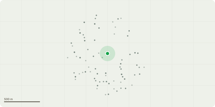
Approximate location
Proposal
T4 Cherry: Fell to ground level and grind out the stumpOn the map provided online this tree is listed as Norway Maple when they are actually Cherry tree.Reasons for felling are in the arb report, Client has a replanting scheme also.Back in June I was a decision letter with 1 of the tree's proposed fell being accepted and 1 of the tree's proposed works being refused.An Arb report by the insurance company was provided with all necessary details and survey however the decision only relates to the amenity of the tree and not the effect the tree is having on the property as raised on the report. I have gone back to the site and collected even further evidence with pictures for your reference. my client the MOD has a responsibility for their trees to not affect non MOD properties which this tree is. please can the subsidence/health and safety of others being took into account instead of the amenity this tree provides.
Key dates
- Received 9 Mar 2026
- Validated 9 Mar 2026
- Started 9 Mar 2026
- Decided 30 Apr 2026
Planning history / related applications
No related planning applications have been identified in the current public OGL dataset.
Inside plotEdge
Go beyond the public record
This page is the public OGL record. plotEdge adds the private intelligence layer for this site - open it in the app to unlock:
- Ownership & title Registered owner and title from HM Land Registry.
- Viability & build potential Site scoring and development upside.
- Constraints Flood risk, green belt, conservation areas and designations.
- Approval signal Planning risk and approval-likelihood analysis.
- Comparable applications Decisions on similar nearby sites, side by side.
- Status alerts Get notified the moment this application changes.
Source: public planning application data from Kingston upon Thames, reused under the Open Government Licence v3.0. View the council source record. Council documents and drawings are not republished on plotEdge.