Kingston upon Thames
Kingston upon Thames/25/02584/TPO
116 Rollesby Road Chessington KT9 2BY
- Reference
- Kingston upon Thames/25/02584/TPO
- Authority
- Kingston upon Thames
- Application type
- Tree preservation order
- Address
- 116 Rollesby Road Chessington KT9 2BY
- Postcode
- KT9 2BY
- Status
- Withdrawn
- Decision
- Application Withdrawn
- Received
- 6 Oct 2025
- Validated
- 9 Dec 2025
- Started
- 9 Dec 2025
- Decided
- 9 Dec 2025
- Source council
- Kingston upon Thames
- Council source record
- View public record
- Public data licence
- Open Government Licence v3.0
- Record updated
- 18 Jul 2026
- SEO index generated
- 24 Jul 2026
Location
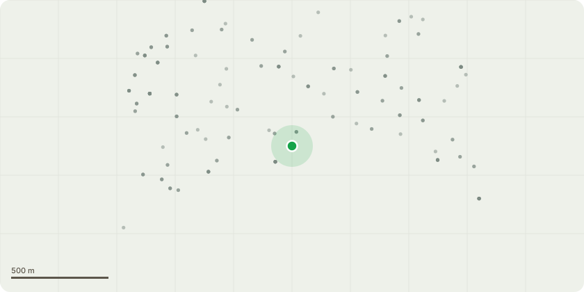
Approximate location
Proposal
T1 oak tree REMOVE subject to heave Assessment. Technical synopsis - roots have been identified that confirm the influence of T1 at or below foundation level. The remaining vegetation was recorded as future risk and should managed as per arboricultural consultancy as per the recommendations.Lack of Maintenance/ Duty of care by its owner breaching their duty of care to neighbouring residents. No visible pruning or safety inspections have been carried out. The tree's height and magnitude pose a significant risk to nearby masionettes and residents. Heavy branches overhand into our garden, creating a constant rear of falling limbs especially during storms of high winds. Acorns falling during late summer have made it unsafe to use our garden. A report from Davies and Arboricultural indicates subsidence to our property l caused by tree's root system. Impact on quality of life, the presence of the tree has prohibited outdoor use of our garden and ongoing stress and concern for the safety of our family.
Key dates
- Received 6 Oct 2025
- Validated 9 Dec 2025
- Started 9 Dec 2025
- Decided 9 Dec 2025
Planning history / related applications
No related planning applications have been identified in the current public OGL dataset.
Inside plotEdge
Go beyond the public record
This page is the public OGL record. plotEdge adds the private intelligence layer for this site - open it in the app to unlock:
- Ownership & title Registered owner and title from HM Land Registry.
- Viability & build potential Site scoring and development upside.
- Constraints Flood risk, green belt, conservation areas and designations.
- Approval signal Planning risk and approval-likelihood analysis.
- Comparable applications Decisions on similar nearby sites, side by side.
- Status alerts Get notified the moment this application changes.
Source: public planning application data from Kingston upon Thames, reused under the Open Government Licence v3.0. View the council source record. Council documents and drawings are not republished on plotEdge.