King’s Lynn and West Norfolk
King’s Lynn and West Norfolk/26/00054/TPO
24 Crown Street Methwold THETFORD Norfolk IP26 4NR
- Reference
- King’s Lynn and West Norfolk/26/00054/TPO
- Authority
- King’s Lynn and West Norfolk
- Application type
- Tree preservation order
- Address
- 24 Crown Street Methwold THETFORD Norfolk IP26 4NR
- Postcode
- IP26 4NR
- Status
- Awaiting decision
- Received
- 14 Jul 2026
- Started
- 14 Jul 2026
- Source council
- King’s Lynn and West Norfolk
- Council source record
- View public record
- Public data licence
- Open Government Licence v3.0
- Record updated
- 18 Jul 2026
- SEO index generated
- 24 Jul 2026
Location
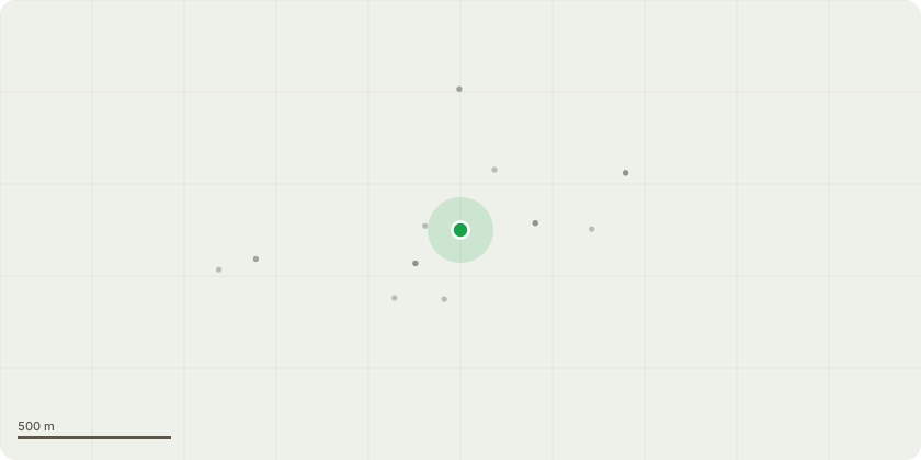
Approximate location
Proposal
2/TPO/00205 - Two lime trees located out the front of the property that our client wants reduced.One of the trees has shed a branch onto neighbours property. We are looking to thin the trees and give a crown reduction up to 3m depending on pruning points and to manage a shape of both trees. The trees are full of epicormic growth and are covering the lients/neighbours garden. They want them reduced to keep on top of growth, manage the trees from having future limb failures, allow more light onto grass and give a balanced canopy. As you know lime trees are very fast growing so they want to keep on top of the trees as they are taking up all the space in the garden. I can see they have been done previously in the past
Key dates
- Received 14 Jul 2026
- Started 14 Jul 2026
Planning history / related applications
No related planning applications have been identified in the current public OGL dataset.
Inside plotEdge
Go beyond the public record
This page is the public OGL record. plotEdge adds the private intelligence layer for this site - open it in the app to unlock:
- Ownership & title Registered owner and title from HM Land Registry.
- Viability & build potential Site scoring and development upside.
- Constraints Flood risk, green belt, conservation areas and designations.
- Approval signal Planning risk and approval-likelihood analysis.
- Comparable applications Decisions on similar nearby sites, side by side.
- Status alerts Get notified the moment this application changes.
Source: public planning application data from King’s Lynn and West Norfolk, reused under the Open Government Licence v3.0. View the council source record. Council documents and drawings are not republished on plotEdge.