King’s Lynn and West Norfolk
King’s Lynn and West Norfolk/26/00015/TPO
Horseshoes 38 Hungate Road Emneth Wisbech Norfolk PE14 8DE
- Reference
- King’s Lynn and West Norfolk/26/00015/TPO
- Authority
- King’s Lynn and West Norfolk
- Application type
- Tree preservation order
- Address
- Horseshoes 38 Hungate Road Emneth Wisbech Norfolk PE14 8DE
- Postcode
- PE14 8DE
- Status
- Unknown
- Decision
- TPO Decision Consent
- Received
- 25 Feb 2026
- Validated
- 25 Feb 2026
- Started
- 25 Feb 2026
- Decided
- 24 Mar 2026
- Source council
- King’s Lynn and West Norfolk
- Council source record
- View public record
- Public data licence
- Open Government Licence v3.0
- Record updated
- 18 Jul 2026
- SEO index generated
- 24 Jul 2026
Location
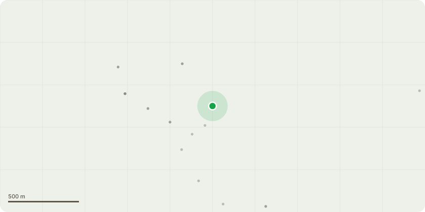
Approximate location
Proposal
2/TPO/00301: T1 Horse=chestnut tree: Carefully remove accessible ivy growth from the main stem and lower crown, where practicable, without causing damage to the tree bark or structural tissues. Install an ivy band at approximately 1.5 metres above ground level to prevent further vertical spread of ivy growth. Undertake a crown reduction of up to 30% of the overall canopy volume. The crown reduction will be carried out in accordance with BS3998:2010. Tree Work Recommendations. The works will aim to retain the natural shape and character of the tree while reducing overall canopy size, improving structural balance, and mitigating excessive weight loading on extended limbs. All pruning cuts will be made to suitable secondary growth points to maintain physiological health and structural integrity. Deadwood will be removed where encountered during operations. The proposed works are considered appropriate arboricultural management to improve the long-term health, safety, and structural condition of the tree while retaining its amenity value.
Key dates
- Received 25 Feb 2026
- Validated 25 Feb 2026
- Started 25 Feb 2026
- Decided 24 Mar 2026
Planning history / related applications
No related planning applications have been identified in the current public OGL dataset.
Inside plotEdge
Go beyond the public record
This page is the public OGL record. plotEdge adds the private intelligence layer for this site - open it in the app to unlock:
- Ownership & title Registered owner and title from HM Land Registry.
- Viability & build potential Site scoring and development upside.
- Constraints Flood risk, green belt, conservation areas and designations.
- Approval signal Planning risk and approval-likelihood analysis.
- Comparable applications Decisions on similar nearby sites, side by side.
- Status alerts Get notified the moment this application changes.
Source: public planning application data from King’s Lynn and West Norfolk, reused under the Open Government Licence v3.0. View the council source record. Council documents and drawings are not republished on plotEdge.