King’s Lynn and West Norfolk
King’s Lynn and West Norfolk/26/00009/TREECA
West Hall Snettisham Road Sedgeford Hunstanton Norfolk PE36 5NX
- Reference
- King’s Lynn and West Norfolk/26/00009/TREECA
- Authority
- King’s Lynn and West Norfolk
- Application type
- TREECA
- Address
- West Hall Snettisham Road Sedgeford Hunstanton Norfolk PE36 5NX
- Postcode
- PE36 5NX
- Status
- Unknown
- Decision
- Tree Application - No objection
- Received
- 13 Jan 2026
- Validated
- 16 Jan 2026
- Started
- 16 Jan 2026
- Decided
- 9 Mar 2026
- Source council
- King’s Lynn and West Norfolk
- Council source record
- View public record
- Public data licence
- Open Government Licence v3.0
- Record updated
- 18 Jul 2026
- SEO index generated
- 24 Jul 2026
Location
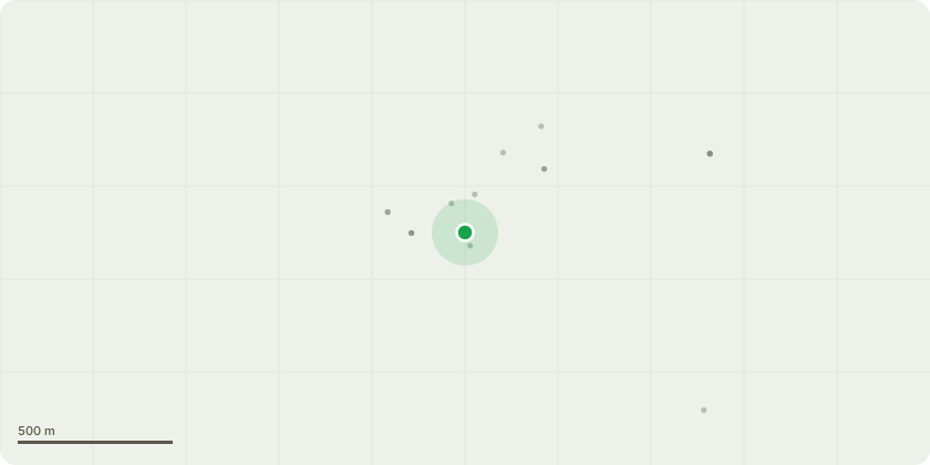
Approximate location
Proposal
TREE IN CONSERVATION AREA: Under the weight of this year's leaf/fruit the trunk has cracked (see photograph 1949). To preserve and rebalance the tree and encourage growth I propose to reduce the upward growing branches substantially all round to suitable growth points.2 Bird Cherries(photographs 1953 and 1954) These are on the northern boundary of our property, overhanging the neighbouring property, They have grown up too fast and too high and are potentially unstable in the persistent high winds we are getting, with possibly dangerous consequences. The tree pictured in photograph 1954 was protected from southerly winds until this autmn by an Alder but this blew down(fortunately without serious consequences). I propose to reduce the height of each Bird Cherry by about 50% to a suitable growing point to encourage the trunks to thicken out. I would be very happy to show the Arboriculture Officer the issues on the ground. I have sought professional advice.I am attaching a rough sketch of the tree positions. I am sending photographs separately because I have failed to upload them to this form.
Key dates
- Received 13 Jan 2026
- Validated 16 Jan 2026
- Started 16 Jan 2026
- Decided 9 Mar 2026
Planning history / related applications
No related planning applications have been identified in the current public OGL dataset.
Inside plotEdge
Go beyond the public record
This page is the public OGL record. plotEdge adds the private intelligence layer for this site - open it in the app to unlock:
- Ownership & title Registered owner and title from HM Land Registry.
- Viability & build potential Site scoring and development upside.
- Constraints Flood risk, green belt, conservation areas and designations.
- Approval signal Planning risk and approval-likelihood analysis.
- Comparable applications Decisions on similar nearby sites, side by side.
- Status alerts Get notified the moment this application changes.
Source: public planning application data from King’s Lynn and West Norfolk, reused under the Open Government Licence v3.0. View the council source record. Council documents and drawings are not republished on plotEdge.