King’s Lynn and West Norfolk
King’s Lynn and West Norfolk/25/00091/TPO
9 Witton Close Heacham King's Lynn Norfolk PE31 7TD
- Reference
- King’s Lynn and West Norfolk/25/00091/TPO
- Authority
- King’s Lynn and West Norfolk
- Application type
- Tree preservation order
- Address
- 9 Witton Close Heacham King's Lynn Norfolk PE31 7TD
- Postcode
- PE31 7TD
- Status
- Unknown
- Decision
- TPO Decision Consent
- Received
- 7 May 2025
- Validated
- 27 May 2025
- Started
- 27 May 2025
- Decided
- 1 Jul 2025
- Source council
- King’s Lynn and West Norfolk
- Council source record
- View public record
- Public data licence
- Open Government Licence v3.0
- Record updated
- 18 Jul 2026
- SEO index generated
- 24 Jul 2026
Location
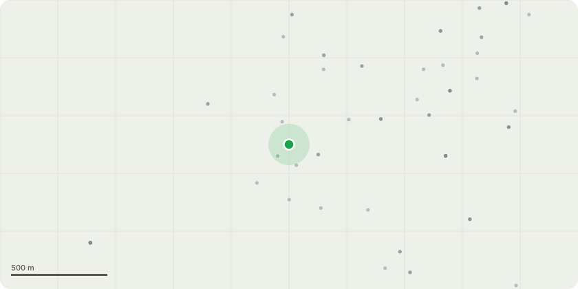
Approximate location
Proposal
2/TPO/00142: The tree partially fell down a few years ago and now the branches are growing much lower, and starting to hinder access to the driveway that covers 3 houses. The tree is outside the boundary (council land) of the property and I was advised to raise a ticket on the planning portal to get some of the lower branches cut back and the ivy on the tree cut back too. I was advised that as this is an oak tree on council land that only the council can cut this back and restore full access to the driveway where currently car is being scratched every time I enter or exit the driveway and the same for my 2 neighbours who also use the driveway. I do not have the tree number but it's the one outside 9 Witton close. Please let me know if you require more information or if you can arrange for some of the lower branches to be cut 7-8 foot up the tree trunk cutting back/off in line to be the same with the other oak trees on the road and green space outside.
Key dates
- Received 7 May 2025
- Validated 27 May 2025
- Started 27 May 2025
- Decided 1 Jul 2025
Planning history / related applications
No related planning applications have been identified in the current public OGL dataset.
Inside plotEdge
Go beyond the public record
This page is the public OGL record. plotEdge adds the private intelligence layer for this site - open it in the app to unlock:
- Ownership & title Registered owner and title from HM Land Registry.
- Viability & build potential Site scoring and development upside.
- Constraints Flood risk, green belt, conservation areas and designations.
- Approval signal Planning risk and approval-likelihood analysis.
- Comparable applications Decisions on similar nearby sites, side by side.
- Status alerts Get notified the moment this application changes.
Source: public planning application data from King’s Lynn and West Norfolk, reused under the Open Government Licence v3.0. View the council source record. Council documents and drawings are not republished on plotEdge.