King’s Lynn and West Norfolk
King’s Lynn and West Norfolk/25/00003/TPO
1 Larkspur Close Gaywood King's Lynn Norfolk PE30 4FU
- Reference
- King’s Lynn and West Norfolk/25/00003/TPO
- Authority
- King’s Lynn and West Norfolk
- Application type
- Tree preservation order
- Address
- 1 Larkspur Close Gaywood King's Lynn Norfolk PE30 4FU
- Postcode
- PE30 4FU
- Status
- Unknown
- Decision
- TPO Decision Consent
- Received
- 13 Jan 2025
- Validated
- 13 Jan 2025
- Started
- 13 Jan 2025
- Decided
- 17 Feb 2025
- Source council
- King’s Lynn and West Norfolk
- Council source record
- View public record
- Public data licence
- Open Government Licence v3.0
- Record updated
- 18 Jul 2026
- SEO index generated
- 24 Jul 2026
Location
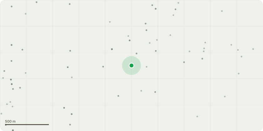
Approximate location
Proposal
2/TPO/00516: To T2 Common Oak Tree 2752. An open grown tree with single stem and full spreading crown. There are no visible signs of instability of the roots. Single main stem which forks at 4m into three co-dominant stems supporting a full spreading canopy. Small old wound cavity 30cm x 20cm at east side of stem base with superficial surface decay and vigorous wound wood growth formation. Natural amount of small and medium sized deadwood in the crown, below 10cm in diameter. Some suppressed and crossing branches, small wounds and stubs. Recommended remedial works as per attached HRA. - Clean out the crown of alldeadwood, crossing and suppressed branches.
Key dates
- Received 13 Jan 2025
- Validated 13 Jan 2025
- Started 13 Jan 2025
- Decided 17 Feb 2025
Planning history / related applications
No related planning applications have been identified in the current public OGL dataset.
Inside plotEdge
Go beyond the public record
This page is the public OGL record. plotEdge adds the private intelligence layer for this site - open it in the app to unlock:
- Ownership & title Registered owner and title from HM Land Registry.
- Viability & build potential Site scoring and development upside.
- Constraints Flood risk, green belt, conservation areas and designations.
- Approval signal Planning risk and approval-likelihood analysis.
- Comparable applications Decisions on similar nearby sites, side by side.
- Status alerts Get notified the moment this application changes.
Source: public planning application data from King’s Lynn and West Norfolk, reused under the Open Government Licence v3.0. View the council source record. Council documents and drawings are not republished on plotEdge.