King’s Lynn and West Norfolk
King’s Lynn and West Norfolk/24/00213/TREECA
1 - 3 The Drift Fakenham Road South Creake Fakenham Norfolk NR21 9PR
- Reference
- King’s Lynn and West Norfolk/24/00213/TREECA
- Authority
- King’s Lynn and West Norfolk
- Application type
- TREECA
- Address
- 1 - 3 The Drift Fakenham Road South Creake Fakenham Norfolk NR21 9PR
- Postcode
- NR21 9PR
- Status
- Unknown
- Decision
- Tree Application - No objection
- Received
- 23 Oct 2024
- Validated
- 7 Nov 2024
- Started
- 7 Nov 2024
- Decided
- 24 Dec 2024
- Source council
- King’s Lynn and West Norfolk
- Council source record
- View public record
- Public data licence
- Open Government Licence v3.0
- Record updated
- 18 Jul 2026
- SEO index generated
- 24 Jul 2026
Location
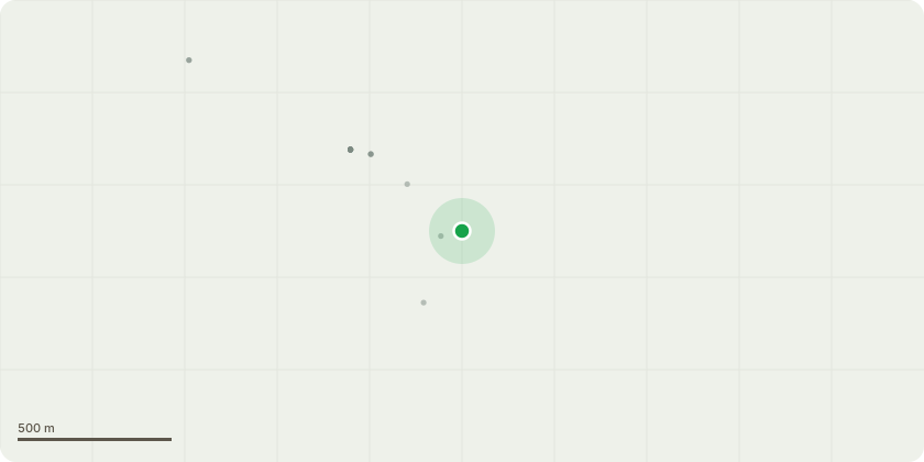
Approximate location
Proposal
There is a large Silver Birch tree at the back of the house, adjacent to a driveway, which is causing concern due to its height and overall size. It has been looked at by a local Arborist, whose opinion is, that with management, this tree should last for another 20 years at least. His advise it to reduce the tree by at least a third to manage and care for the continued life of the tree. At the moment the tree is in good condition.There is concerned that without suitable reduction, the tree will become top heavy causing it to topple when battered by the current heavy rain and high winds. Apart from concern for the continued welfare of the tree, should it fall or shed a branch there are 4 properties and garages that could be damaged.
Key dates
- Received 23 Oct 2024
- Validated 7 Nov 2024
- Started 7 Nov 2024
- Decided 24 Dec 2024
Planning history / related applications
No related planning applications have been identified in the current public OGL dataset.
Inside plotEdge
Go beyond the public record
This page is the public OGL record. plotEdge adds the private intelligence layer for this site - open it in the app to unlock:
- Ownership & title Registered owner and title from HM Land Registry.
- Viability & build potential Site scoring and development upside.
- Constraints Flood risk, green belt, conservation areas and designations.
- Approval signal Planning risk and approval-likelihood analysis.
- Comparable applications Decisions on similar nearby sites, side by side.
- Status alerts Get notified the moment this application changes.
Source: public planning application data from King’s Lynn and West Norfolk, reused under the Open Government Licence v3.0. View the council source record. Council documents and drawings are not republished on plotEdge.