King’s Lynn and West Norfolk
King’s Lynn and West Norfolk/24/00154/TREECA
77 Howdale Road Downham Market Norfolk PE38 9AH
- Reference
- King’s Lynn and West Norfolk/24/00154/TREECA
- Authority
- King’s Lynn and West Norfolk
- Application type
- TREECA
- Address
- 77 Howdale Road Downham Market Norfolk PE38 9AH
- Postcode
- PE38 9AH
- Status
- Unknown
- Decision
- Tree Application - No objection
- Received
- 4 Aug 2024
- Validated
- 5 Aug 2024
- Started
- 5 Aug 2024
- Decided
- 24 Sept 2024
- Source council
- King’s Lynn and West Norfolk
- Council source record
- View public record
- Public data licence
- Open Government Licence v3.0
- Record updated
- 18 Jul 2026
- SEO index generated
- 24 Jul 2026
Location
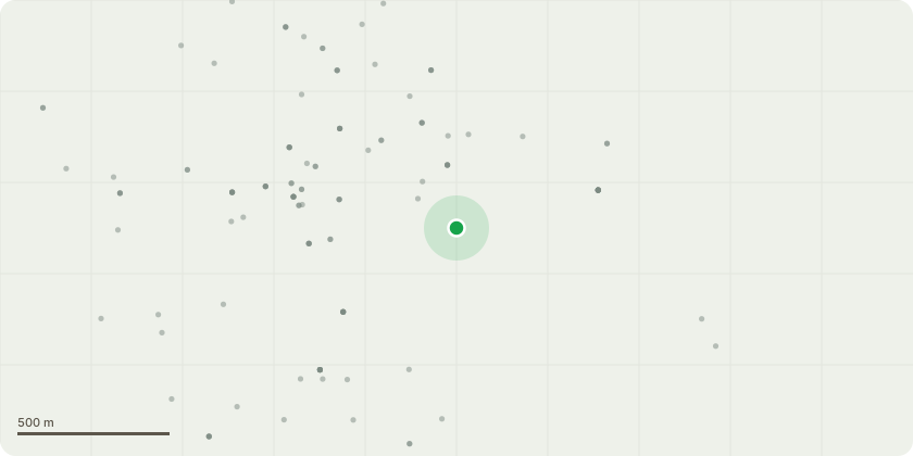
Approximate location
Proposal
I am applying for permission to fell a dead Silver Birch tree in the back garden of my property. The tree is located at the rear of the garden, near to the boundary of my neighbour's property. The tree died within the last 18 months, it has no leaves and has been dropping an increasing number of twigs/small branches over the last few months. If not dealt with soon, I am concerned that the tree may become unsafe, presenting a more significant risk to personal health and safety as well as the greater potential for physical damage to my property. Photos included for reference - Silver Birch 1 & Silver Birch 2.
Key dates
- Received 4 Aug 2024
- Validated 5 Aug 2024
- Started 5 Aug 2024
- Decided 24 Sept 2024
Planning history / related applications
No related planning applications have been identified in the current public OGL dataset.
Inside plotEdge
Go beyond the public record
This page is the public OGL record. plotEdge adds the private intelligence layer for this site - open it in the app to unlock:
- Ownership & title Registered owner and title from HM Land Registry.
- Viability & build potential Site scoring and development upside.
- Constraints Flood risk, green belt, conservation areas and designations.
- Approval signal Planning risk and approval-likelihood analysis.
- Comparable applications Decisions on similar nearby sites, side by side.
- Status alerts Get notified the moment this application changes.
Source: public planning application data from King’s Lynn and West Norfolk, reused under the Open Government Licence v3.0. View the council source record. Council documents and drawings are not republished on plotEdge.