King’s Lynn and West Norfolk
King’s Lynn and West Norfolk/24/00152/TREECA
Arnolds Joan Shorts Lane Burnham Market King's Lynn Norfolk PE31 8HJ
- Reference
- King’s Lynn and West Norfolk/24/00152/TREECA
- Authority
- King’s Lynn and West Norfolk
- Application type
- TREECA
- Address
- Arnolds Joan Shorts Lane Burnham Market King's Lynn Norfolk PE31 8HJ
- Postcode
- PE31 8HJ
- Status
- Unknown
- Decision
- Tree Application - No objection
- Received
- 1 Aug 2024
- Validated
- 1 Aug 2024
- Started
- 1 Aug 2024
- Decided
- 26 Sept 2024
- Source council
- King’s Lynn and West Norfolk
- Council source record
- View public record
- Public data licence
- Open Government Licence v3.0
- Record updated
- 18 Jul 2026
- SEO index generated
- 24 Jul 2026
Location
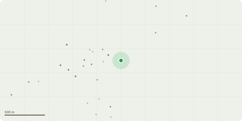
Approximate location
Proposal
T1 - Silver Birch - Fell - Tree is causing shading issues with neighbours decking and overhang to neighbours garden, there is also some concern over future root damage to neighbours wall. As the aforementioned species does not react well to heavy pruning and it would unlikely resolve any issues removal is recommended.T2 - Maple - 1.5m maximum full crown reduction with a light thin of internal canopy - 2 x Maple growing as a singular crown, approx. 20m tall with a radius crown spread of 8-9m from each main stem. Reduction is to maintain current size and shape, with a light thin allowing some mottled light through to lawn.T3 - Sycamore - Fell - Growing very close to boundary wall and over dwelling, also causing interference with overhead cables. Removal is recommended to avoid future issues.T4 - Hawthorn - Fell - Still a small and young tree. Removal allows for easier parking and passing on a narrow road.
Key dates
- Received 1 Aug 2024
- Validated 1 Aug 2024
- Started 1 Aug 2024
- Decided 26 Sept 2024
Planning history / related applications
No related planning applications have been identified in the current public OGL dataset.
Inside plotEdge
Go beyond the public record
This page is the public OGL record. plotEdge adds the private intelligence layer for this site - open it in the app to unlock:
- Ownership & title Registered owner and title from HM Land Registry.
- Viability & build potential Site scoring and development upside.
- Constraints Flood risk, green belt, conservation areas and designations.
- Approval signal Planning risk and approval-likelihood analysis.
- Comparable applications Decisions on similar nearby sites, side by side.
- Status alerts Get notified the moment this application changes.
Source: public planning application data from King’s Lynn and West Norfolk, reused under the Open Government Licence v3.0. View the council source record. Council documents and drawings are not republished on plotEdge.