Islington
Islington/P2026/1837/NMA
25 Ropemaker Street, Ropemaker Place, London
- Reference
- Islington/P2026/1837/NMA
- Authority
- Islington
- Application type
- Non-Material Amendment
- Address
- 25 Ropemaker Street, Ropemaker Place, London
- Status
- VALIDATED
- Received
- 10 Jul 2026
- Validated
- 20 Jul 2026
- Started
- 20 Jul 2026
- Source council
- Islington
- Council source record
- View public record
- Public data licence
- Open Government Licence v3.0
- Record updated
- 21 Jul 2026
- SEO index generated
- 24 Jul 2026
Location
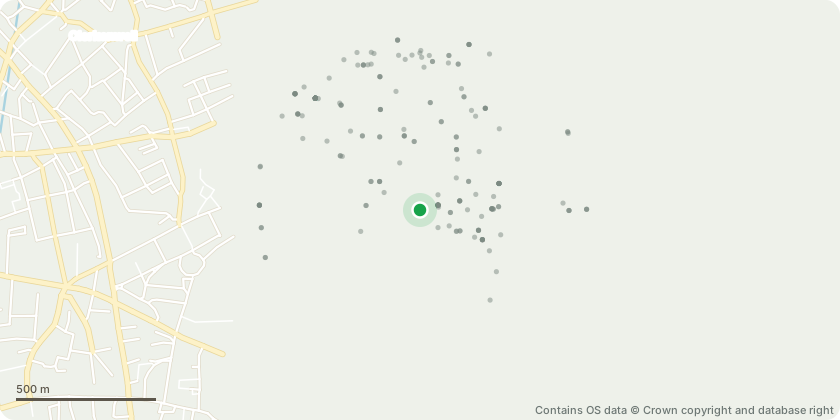
Approximate location - Contains OS data © Crown copyright and database right
Proposal
Application pursuant to Section 96a of the Town and Country Planning Act 1990 for non-material amendments to planning permission ref. P062728, dated 15 Feb 2007, as amended by non-material amendment application ref. P2022/2665/NMA, dated 21 Mar 2023. The amendments sought are: -The creation of an additional 81 sqm of Class E(g) (i) floorspace at ground floor level [Corner of Ropemaker Street and Moor Lane]; -The creation of a new office conference facility at ground floor level (Class E (g)(i)) [Chiswell Street Elevation]; -The provision of new amenity spaces for the use of both tenants and building visitors; and -Amendments to the Site's parking facilities, including the provision of new and improved end-of-trip facilities as well as: o A change in car-parking numbers from 19 to 9 (including 3no. accessible spaces); and o A change in motorcycle parking numbers from 73 to 34. It is also proposed to change the original description of development to; The redevelopment of the Site to provide 82,806m2 gross external area (commercial (Class E(g)(i)) floorspace at the upper floors, flexible E(a)/E(b)/E(c) and flexible E(a)/E(b)/E(c)/E(g)(i) floorspace at ground floor level), within a building of up to 22 storeys, and including 3 basement levels, as well as parking for cars, motorcycles and bicycles.
Key dates
- Received 10 Jul 2026
- Validated 20 Jul 2026
- Started 20 Jul 2026
Planning history / related applications
No related planning applications have been identified in the current public OGL dataset.
Inside plotEdge
Go beyond the public record
This page is the public OGL record. plotEdge adds the private intelligence layer for this site - open it in the app to unlock:
- Ownership & title Registered owner and title from HM Land Registry.
- Viability & build potential Site scoring and development upside.
- Constraints Flood risk, green belt, conservation areas and designations.
- Approval signal Planning risk and approval-likelihood analysis.
- Comparable applications Decisions on similar nearby sites, side by side.
- Status alerts Get notified the moment this application changes.
Source: public planning application data from Islington, reused under the Open Government Licence v3.0. View the council source record. Council documents and drawings are not republished on plotEdge.