Islington
Islington/P2026/1583/TRE
142, Flat A, Downham Road, London, N1 3HJ
- Reference
- Islington/P2026/1583/TRE
- Authority
- Islington
- Application type
- Tree Works Notification in Conservation Area
- Address
- 142, Flat A, Downham Road, London, N1 3HJ
- Postcode
- N1 3HJ
- Status
- FINAL DECISION
- Decision
- Tree Works - Auto Permit
- Received
- 17 Jun 2026
- Validated
- 19 Jun 2026
- Started
- 19 Jun 2026
- Decided
- 30 Jun 2026
- Source council
- Islington
- Council source record
- View public record
- Public data licence
- Open Government Licence v3.0
- Record updated
- 14 Jul 2026
- SEO index generated
- 24 Jul 2026
Location
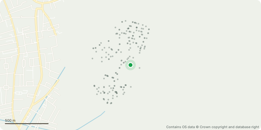
Approximate location - Contains OS data © Crown copyright and database right
Proposal
Crown reduction of tree to remove all branches overhanging into my garden, cutting back to the boundary line only. Removal of excessive ivy/weed growth within the crown where directly affecting overhanging branches. The tree is large, significantly overgrown, and heavily covered in ivy/weed growth. Branches extend substantially into our property and currently dominate the garden space. This overhang has materially reduced light, usability and enjoyment of the garden, making it largely unusable. The proposed works are limited to branches crossing the boundary and are necessary to restore reasonable use of the property. Works will be carried out sensitively and in accordance with good arboricultural practice, with no impact beyond the boundary line
Key dates
- Received 17 Jun 2026
- Validated 19 Jun 2026
- Started 19 Jun 2026
- Decided 30 Jun 2026
Planning history / related applications
No related planning applications have been identified in the current public OGL dataset.
Inside plotEdge
Go beyond the public record
This page is the public OGL record. plotEdge adds the private intelligence layer for this site - open it in the app to unlock:
- Ownership & title Registered owner and title from HM Land Registry.
- Viability & build potential Site scoring and development upside.
- Constraints Flood risk, green belt, conservation areas and designations.
- Approval signal Planning risk and approval-likelihood analysis.
- Comparable applications Decisions on similar nearby sites, side by side.
- Status alerts Get notified the moment this application changes.
Source: public planning application data from Islington, reused under the Open Government Licence v3.0. View the council source record. Council documents and drawings are not republished on plotEdge.