Islington
Islington/P2026/1124/TRE
St Josephs Catholic Primary School, Dartmouth Park Hill, London, N19 5DT
- Reference
- Islington/P2026/1124/TRE
- Authority
- Islington
- Application type
- Works application to tree with Tree Preservation Order
- Address
- St Josephs Catholic Primary School, Dartmouth Park Hill, London, N19 5DT
- Postcode
- N19 5DT
- Status
- VALIDATED
- Received
- 27 Apr 2026
- Validated
- 29 May 2026
- Started
- 29 May 2026
- Source council
- Islington
- Council source record
- View public record
- Public data licence
- Open Government Licence v3.0
- Record updated
- 14 Jul 2026
- SEO index generated
- 24 Jul 2026
Location
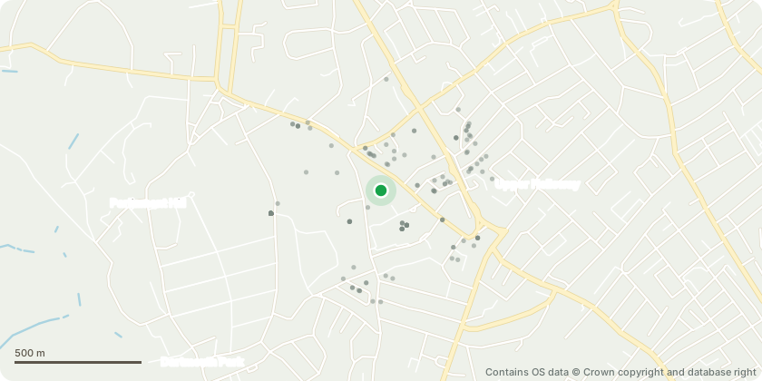
Approximate location - Contains OS data © Crown copyright and database right
Proposal
TPO application: 8 x Poplars (T6 to T14): any roots found within the upper 230mm of sub-base to be removed and replaced shall be severed. s211 notice: Sycamore (G2): any roots found within the upper 230mm of sub-base to be removed and replaced shall be severed. See accompanying reports for further details. Final Justification for Works The proposed works are required to address significant and ongoing damage to the existing tarmac playground at St Joseph’s Primary School. As set out within the submitted Arboricultural Report and Tree Works Plan, the deterioration has been caused by a combination of seasonal soil movement linked to water uptake by retained trees and the presence of shallow roots beneath the existing surfacing. This has resulted in lifting, cracking, and displacement of the tarmac, creating an uneven surface across the primary play area. The condition presents a clear trip hazard to pupils and staff and constitutes a health and safety concern. Given the constrained nature of the site and the limited availability of alternative outdoor space, the usability of the playground is now being compromised, impacting the day-to-day operation of the school. Investigations, including trial trenches, confirmed the presence of surface roots, although the majority of the tree root systems are located deeper than the existing construction. The proposed works therefore seek to address the damaged surfacing while minimising harm to the retained trees. The scheme involves reconstruction of the playground using a reduced excavation depth of approximately 230mm, with all works within Root Protection Areas undertaken carefully using hand tools and under arboricultural supervision. Any roots encountered within this upper layer will be cleanly pruned in accordance with best practice, avoiding unnecessary disturbance to deeper rooting structures. The introduction of a cellular confinement (crate) system within the new build-up is designed to provide a stable, load-distributing surface that reduces the likelihood of future damage, thereby supporting both the long-term usability of the playground and the continued retention of the protected trees. Overall, the works are considered necessary to resolve an existing safety issue while adopting a methodology that minimises impact on the protected trees and accords with arboricultural guidance.
Key dates
- Received 27 Apr 2026
- Validated 29 May 2026
- Started 29 May 2026
Planning history / related applications
No related planning applications have been identified in the current public OGL dataset.
Inside plotEdge
Go beyond the public record
This page is the public OGL record. plotEdge adds the private intelligence layer for this site - open it in the app to unlock:
- Ownership & title Registered owner and title from HM Land Registry.
- Viability & build potential Site scoring and development upside.
- Constraints Flood risk, green belt, conservation areas and designations.
- Approval signal Planning risk and approval-likelihood analysis.
- Comparable applications Decisions on similar nearby sites, side by side.
- Status alerts Get notified the moment this application changes.
Source: public planning application data from Islington, reused under the Open Government Licence v3.0. View the council source record. Council documents and drawings are not republished on plotEdge.